Monthly Archives: October 2016

Sydney and the Blue Mountains

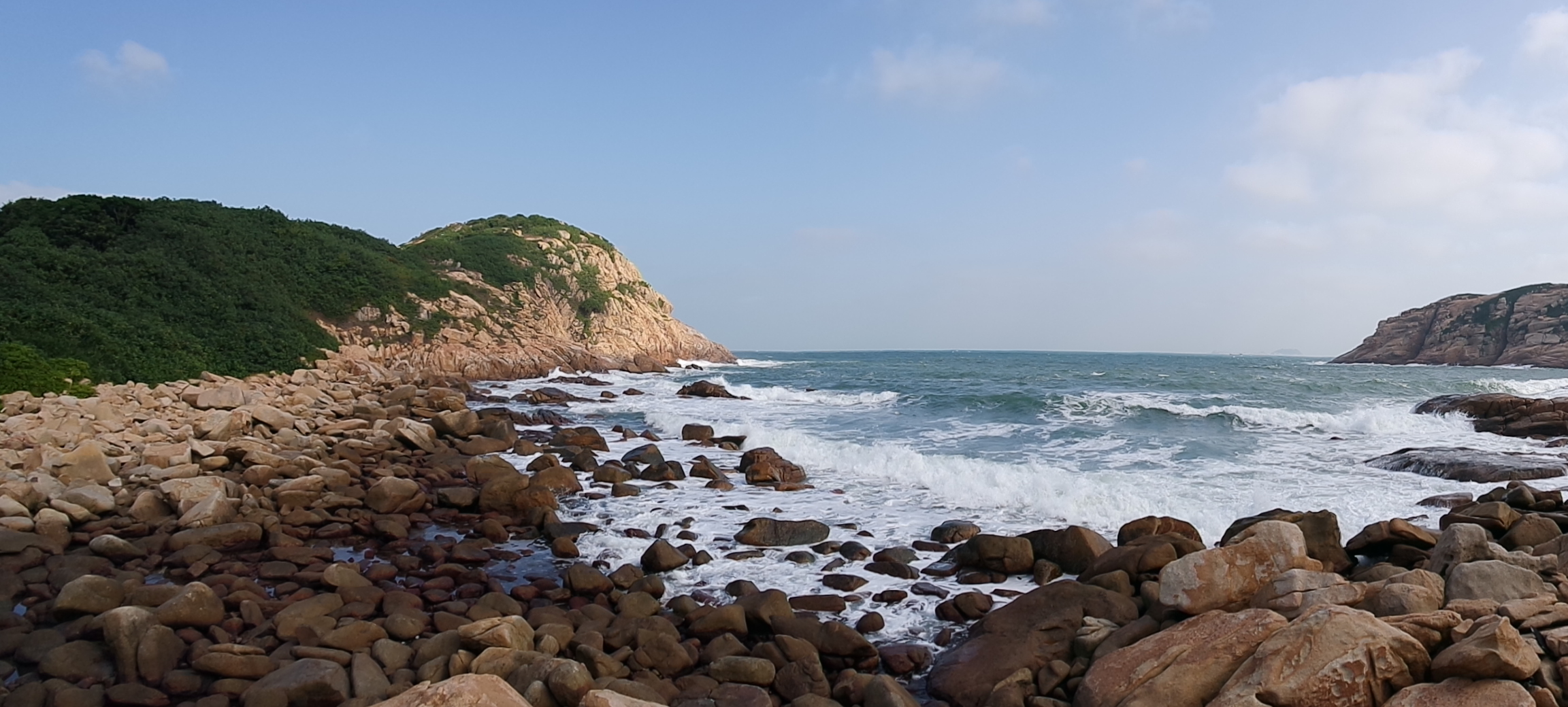
In December 2015, Bearface came to Australia to do some motorcycle touring and spend the holidays with us.  We spend most of Christmas Day at Hyams Beach on Jervis Bay, home of (debatedly) the whitest sand in the world (definitely the whitest I’ve seen), then drove to Sydney.  We stayed in Sydney for a week until New Years to watch the Sydney New Years fireworks, then on New Years Day, we drove to Blackheath in the Blue Mountains for the weekend.  Here are some pictures I took from those adventures.

Every one of my visits to Sydney includes a walk through the Royal Botanic Gardens.  This time, we actually went on one of the free guided tours and learned heaps of stuff and saw heaps of stuff we never would have known about from just walking around unguided.

SAMSUNG CAMERA PICTURES

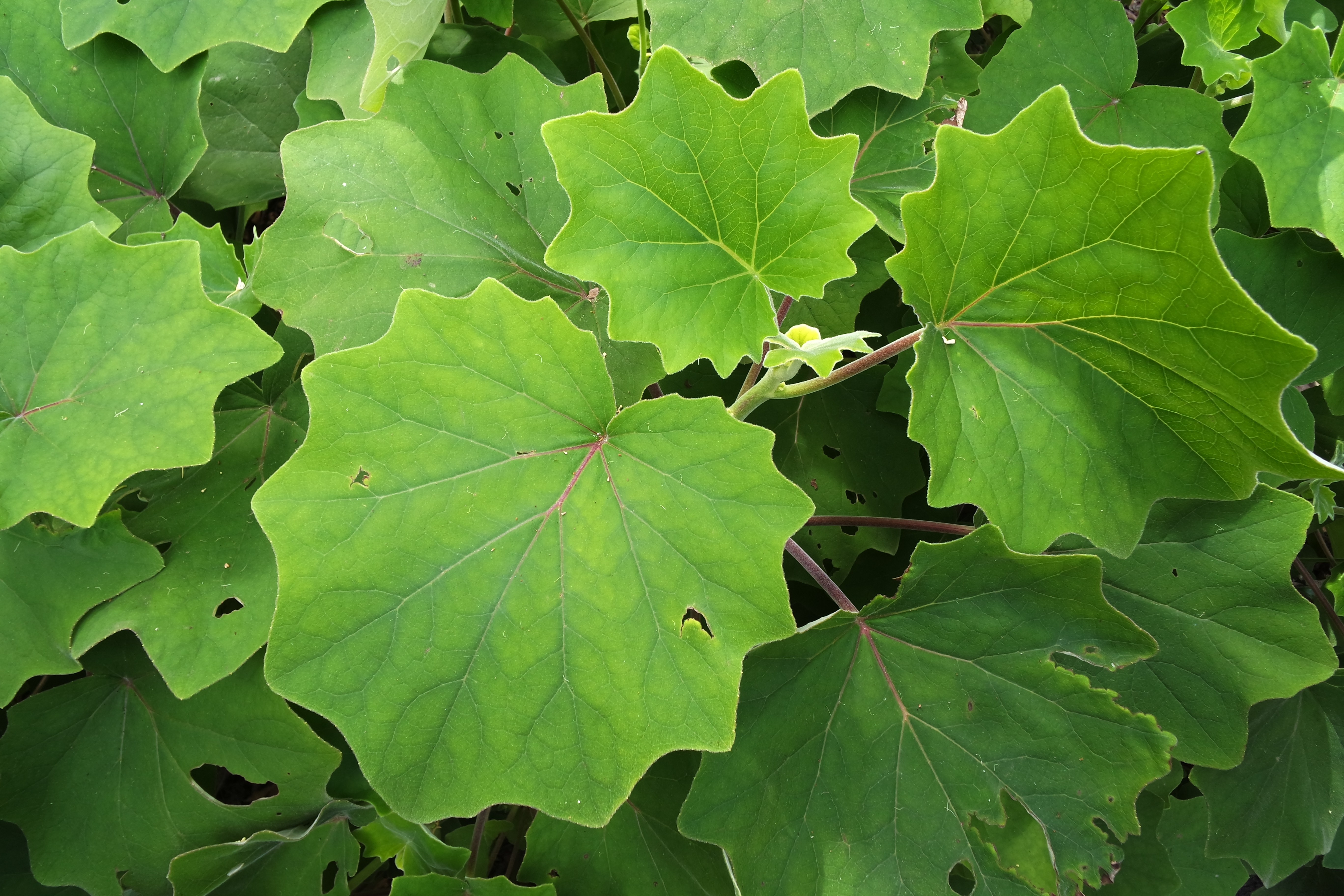
Green leaves at the Royal Botanic Gardens

SAMSUNG CAMERA PICTURES

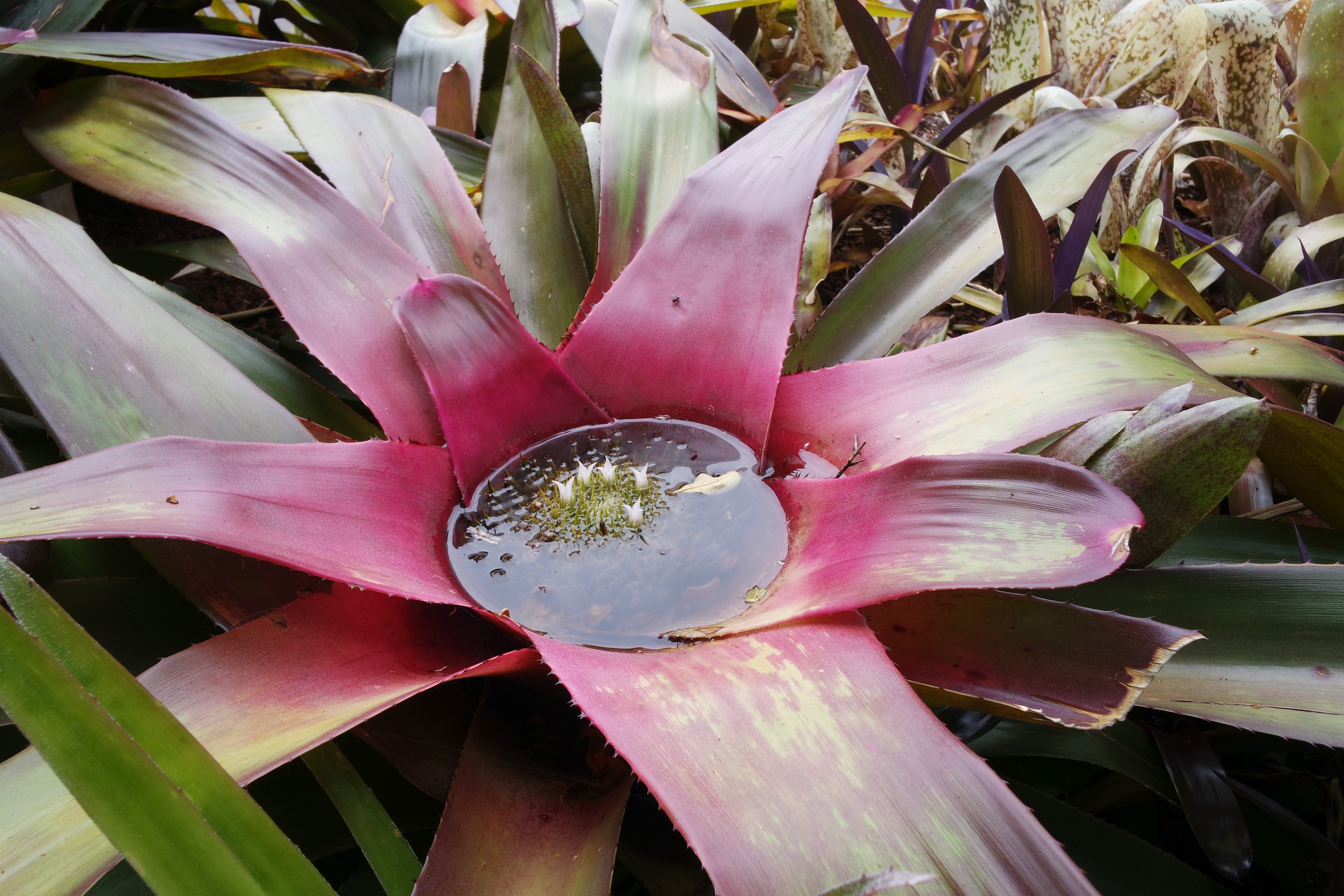
Little white flowers growing in the puddle in the middle of a giant flower

We went to Bondi Beach and walked the whole coastal track from Bondi to Coogee.  It was crazy windy and unseasonably cold but beautiful!  Pretty Boy wants to go to Bondi every time we’re in Sydney, and I’d be happy to walk the coastal track again and again.

SAMSUNG CAMERA PICTURES

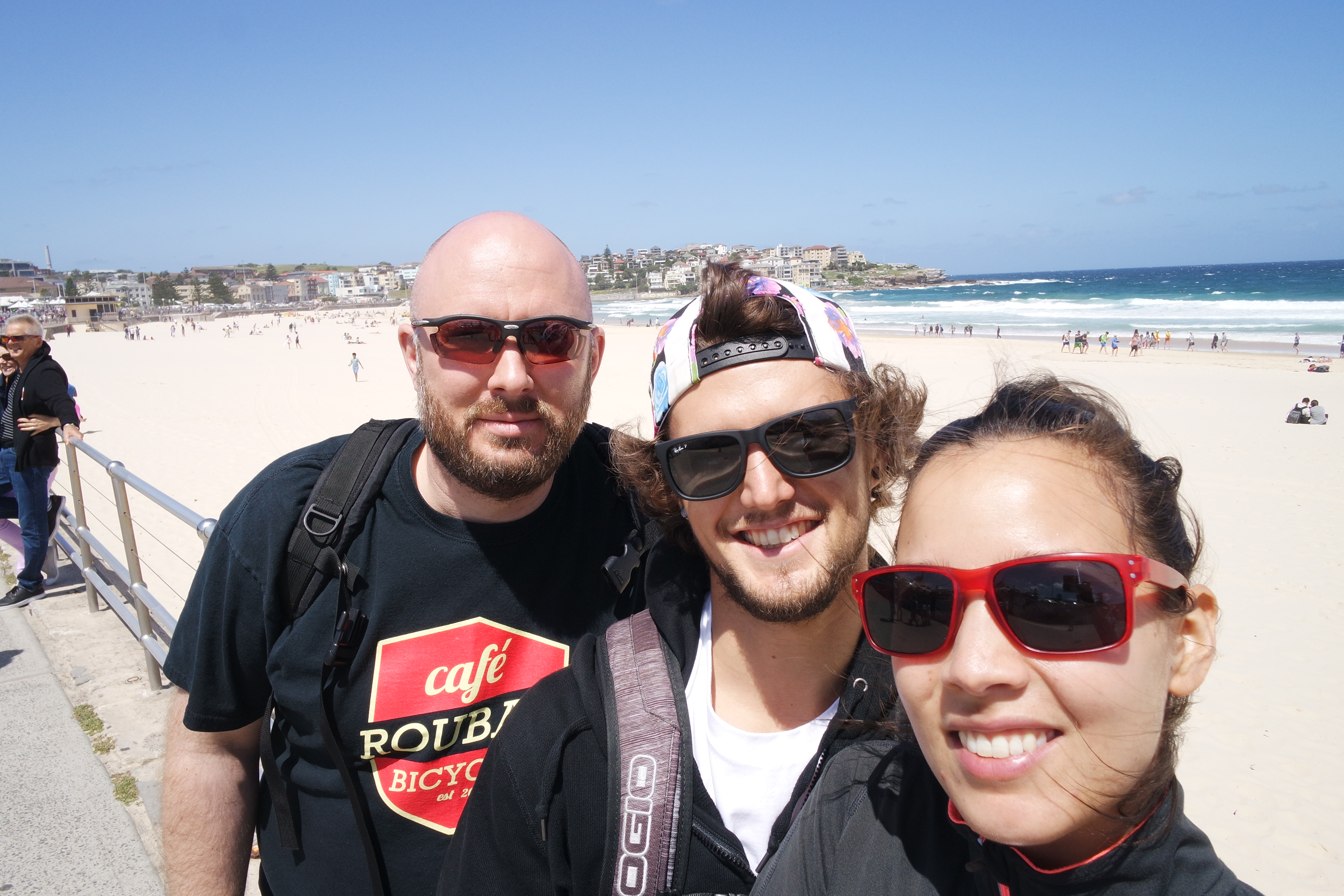
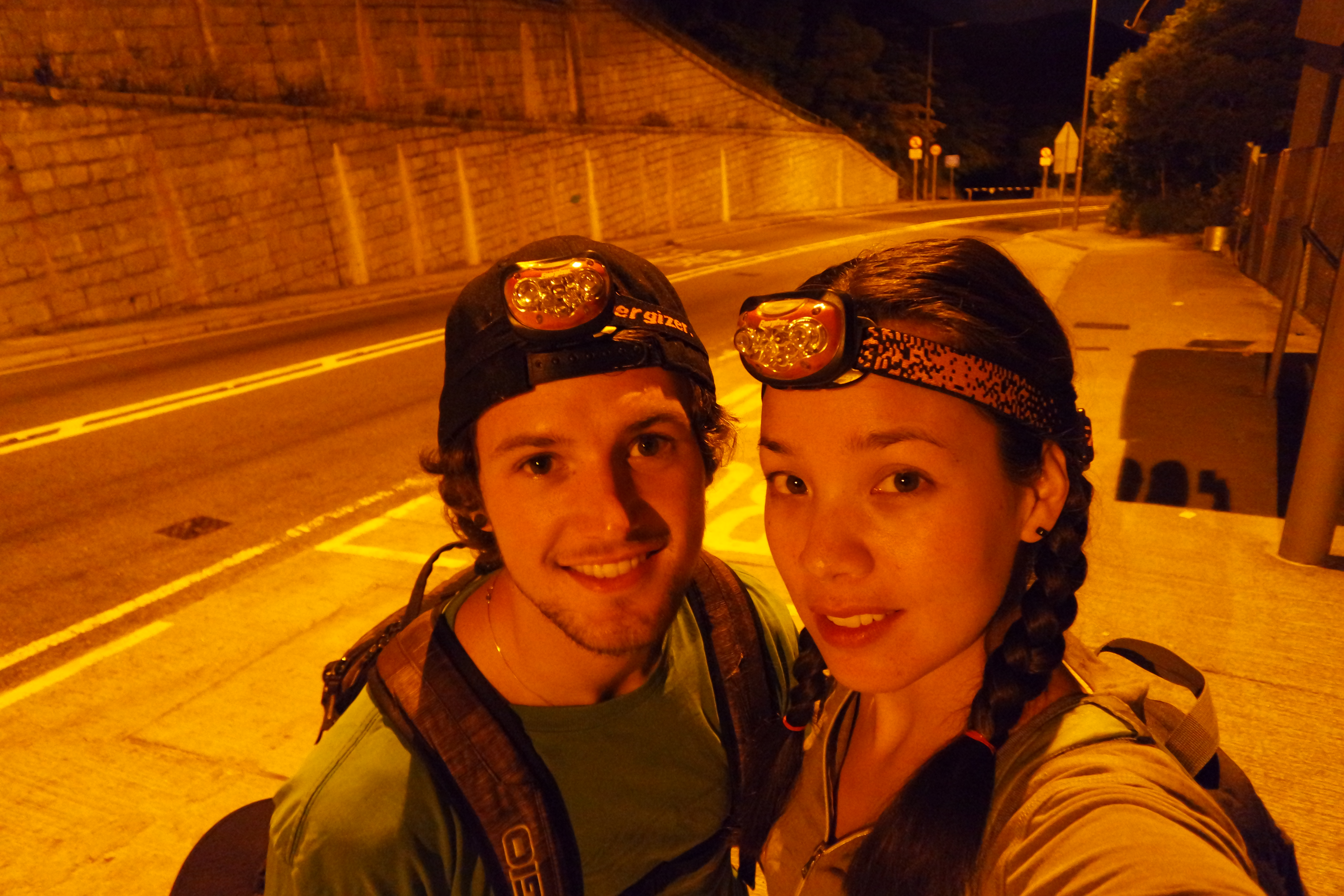
Bearface, Pretty Boy, and me at Bondi and the start of our walk

SAMSUNG CAMERA PICTURES

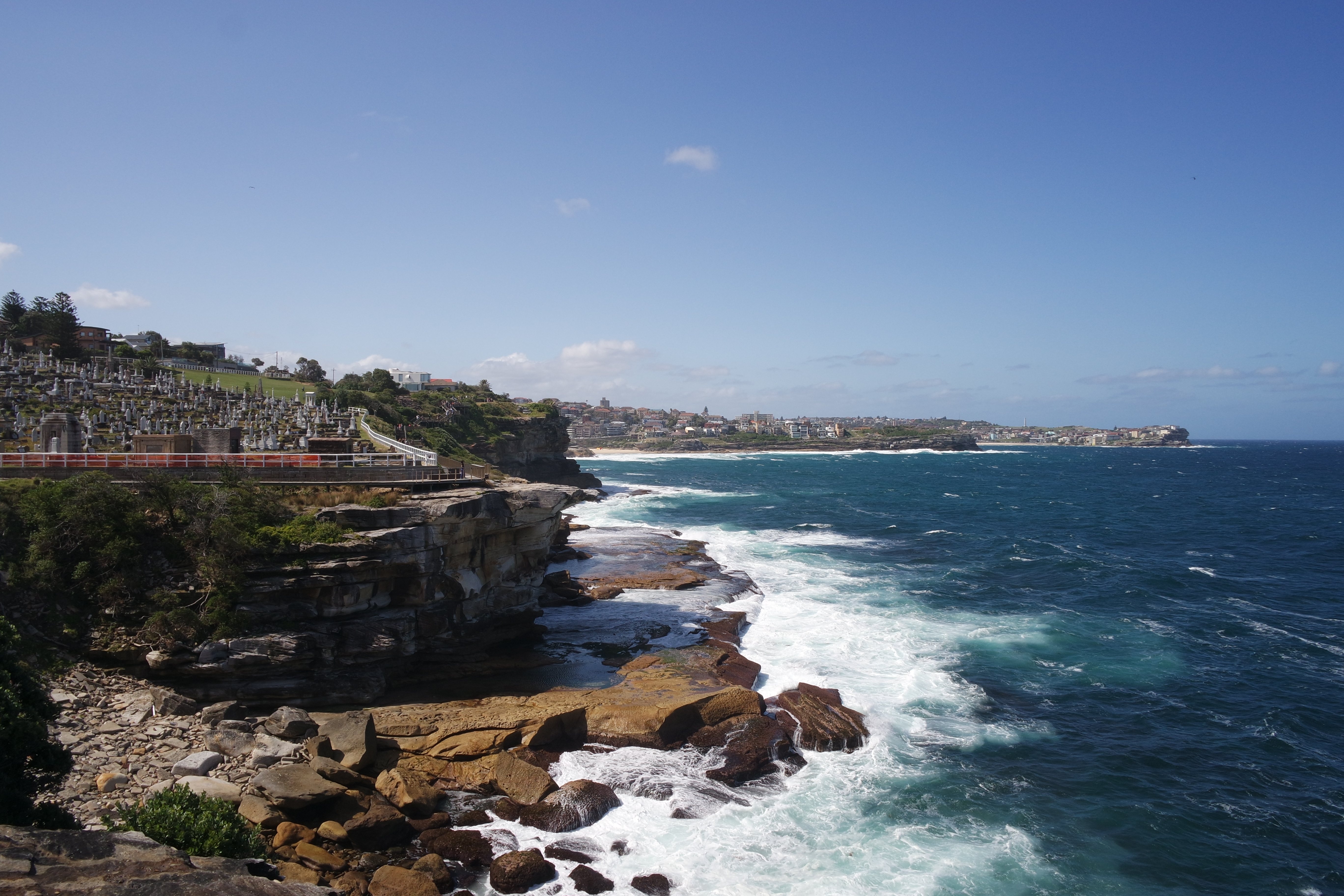
This was about half way along the track, looking back at Tamarama Beach and Waverley Cemetery; we started somewhere on the other side of that far point

SAMSUNG CAMERA PICTURES

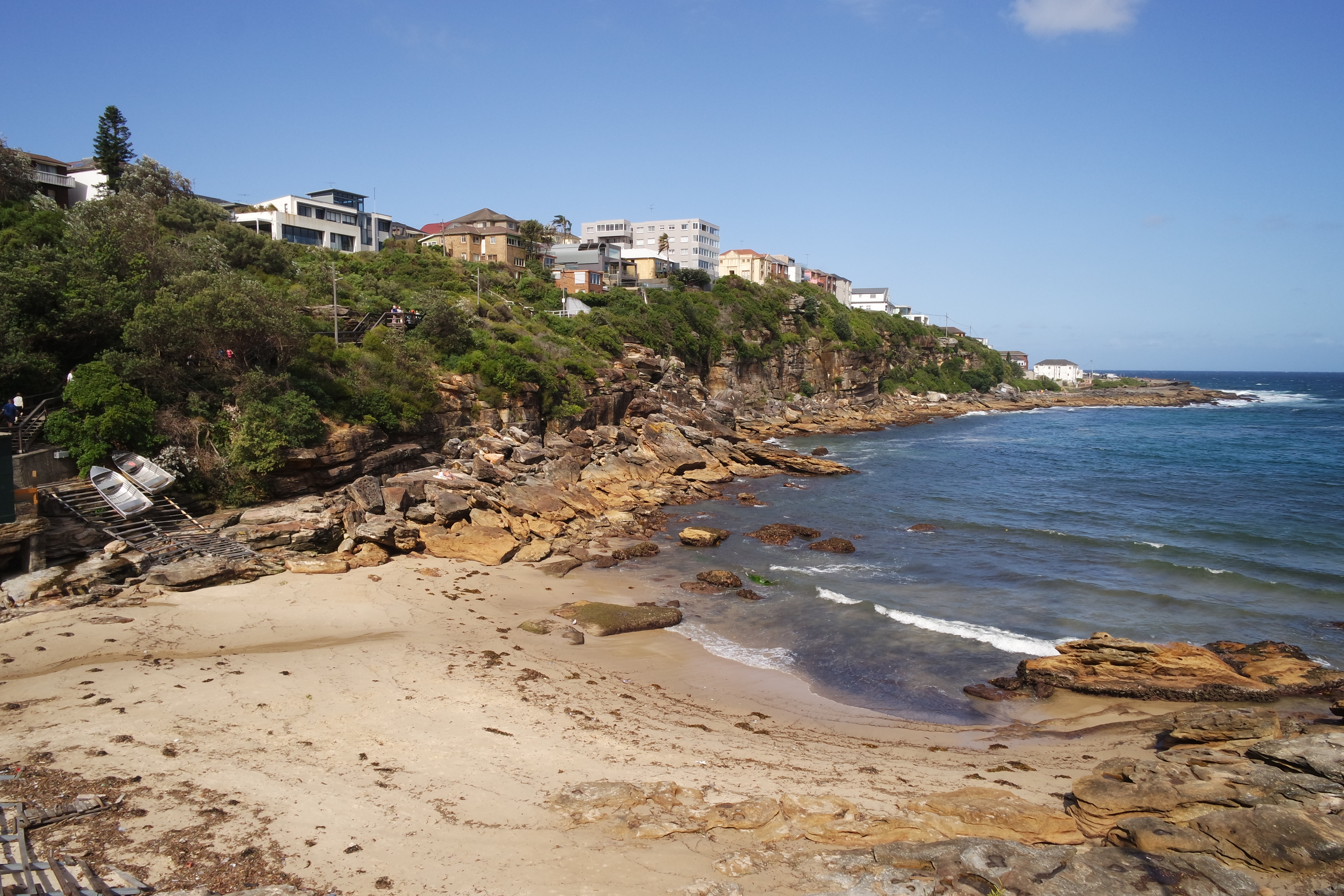
Sydney’s high end real estate along Gordons Bay

Something we’d never done in Sydney before, Pretty Boy and I took a ferry from North Sydney to Watsons Bay and walked around the South Head entrance to Sydney Harbour.  We also had tasty fish and chips from Doyle’s on the Wharf Take Away.

SAMSUNG CAMERA PICTURES

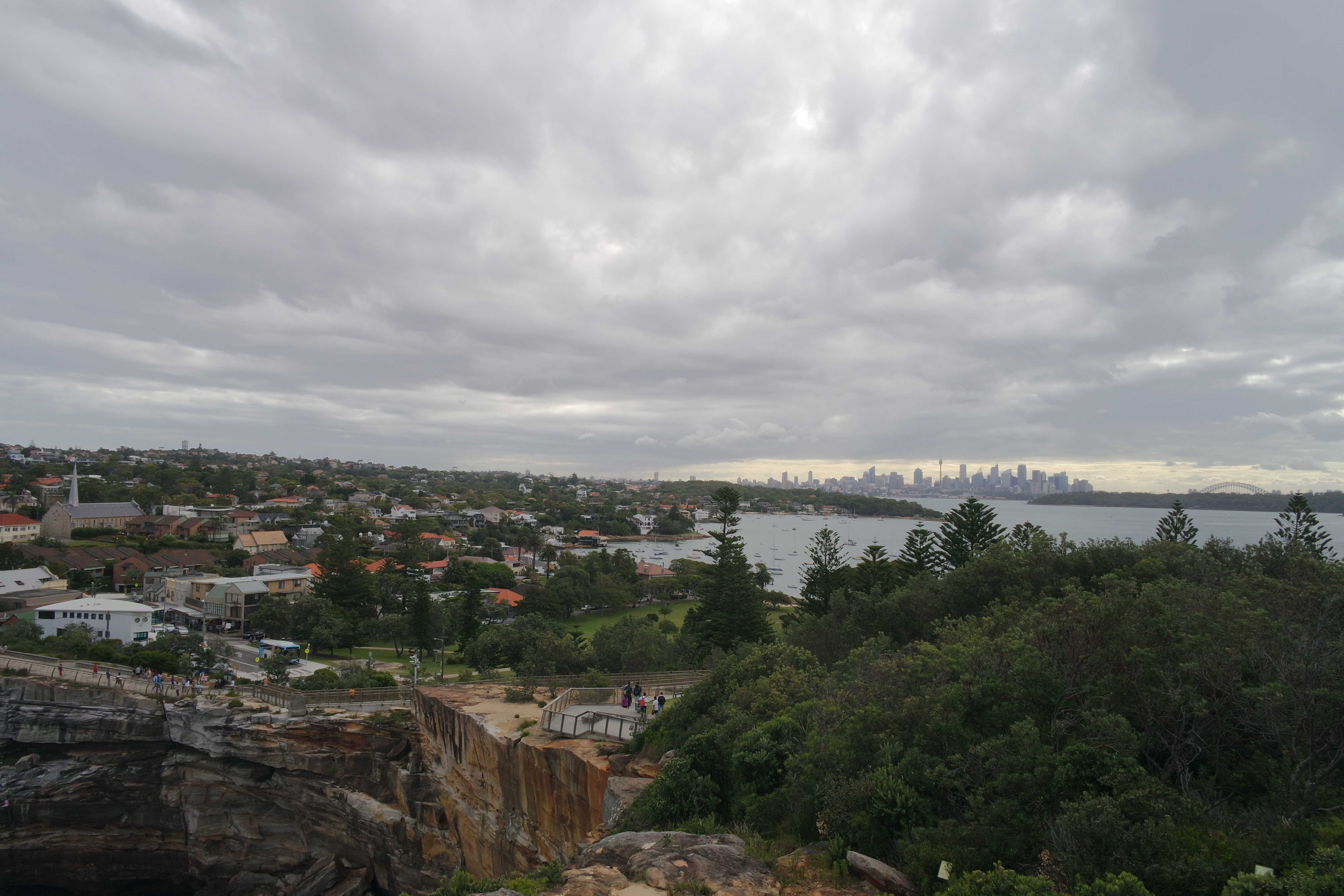
Downtown Sydney, the Harbour Bridge, and Watsons Bay seen from the top of Gap Bluff
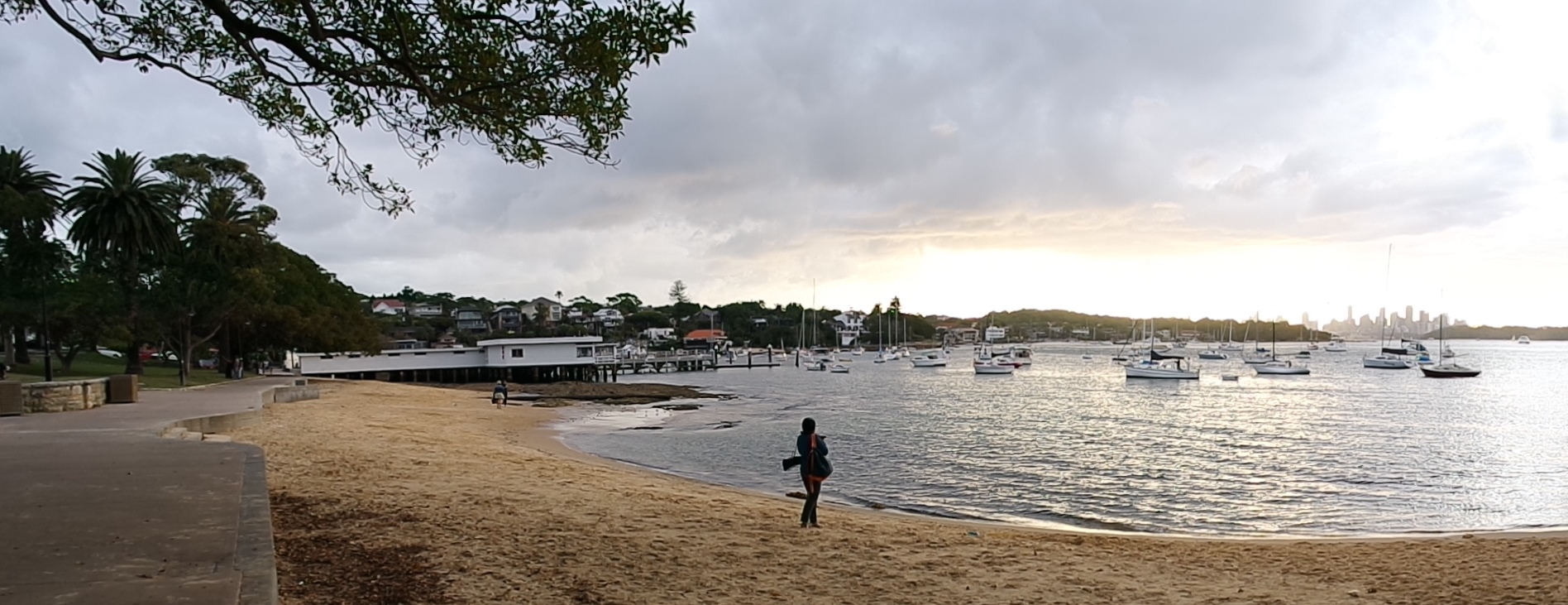
SAMSUNG CAMERA PICTURES

Watsons Bay wharf

Snapped this quick shot of Pretty Boy while we were waiting for a table at bill’s in Surrey Hills.

SAMSUNG CAMERA PICTURES

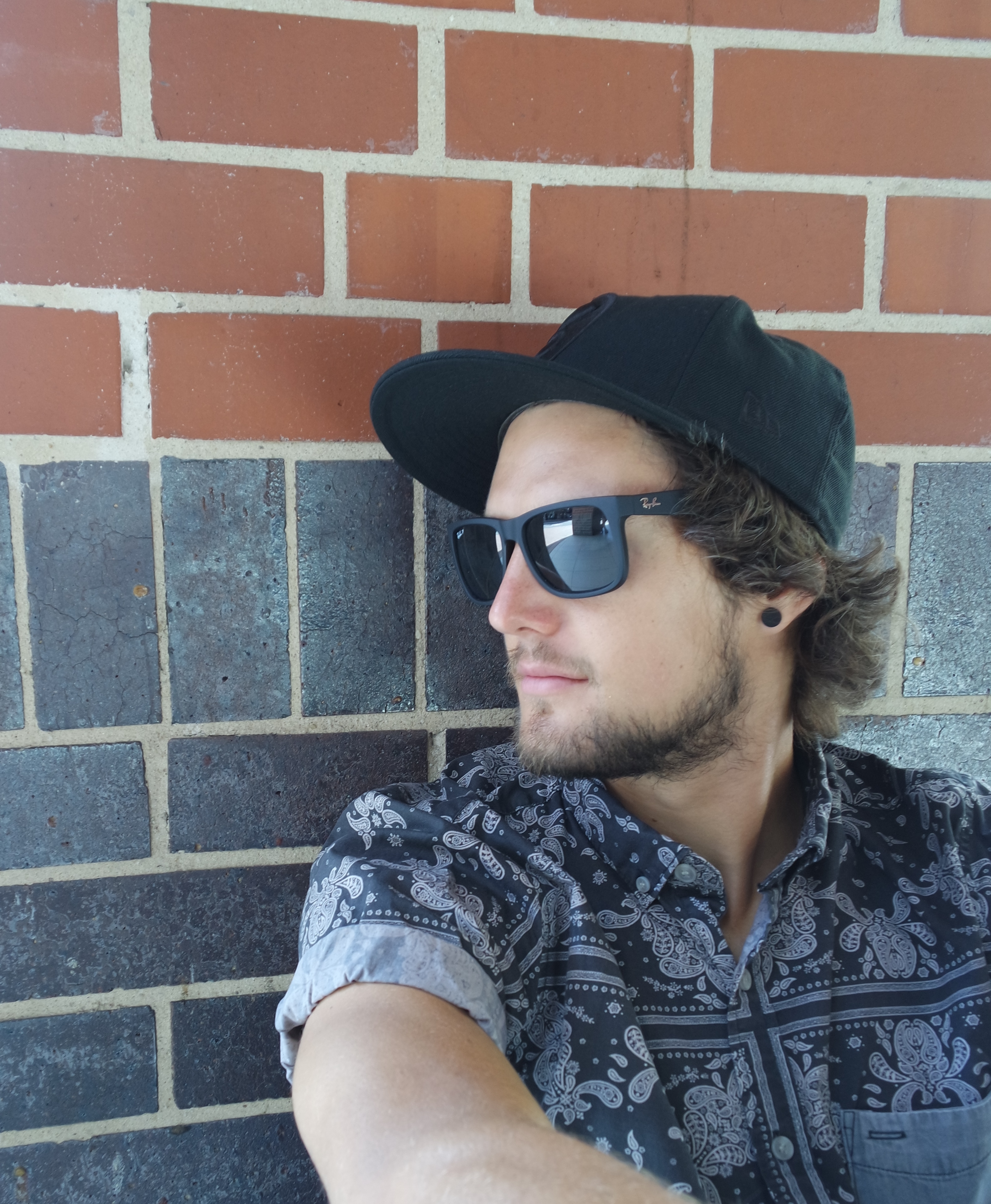
Aspiring model in the making (not an advertisement for Ray-Bans… promise)

Even after multiple visits, we are still finding new things to do in Sydney and loving it just as much every time.

After Sydney, to get to Blackheath, we drove the long way around, taking the Bell Line of Road.  In Bilpin along the way, we stopped at Pie in the Sky Roadhouse for sweet and savory pie and picked up some local fruit from a fruit seller.  We also stopped at the Blue Mountains Botanic Garden in Mount Tomah.  I love all botanic gardens, and this one did not disappoint.  I am so keen to go back and spend more time there.

SAMSUNG CAMERA PICTURES

The botanic garden nestled in the Blue Mountains

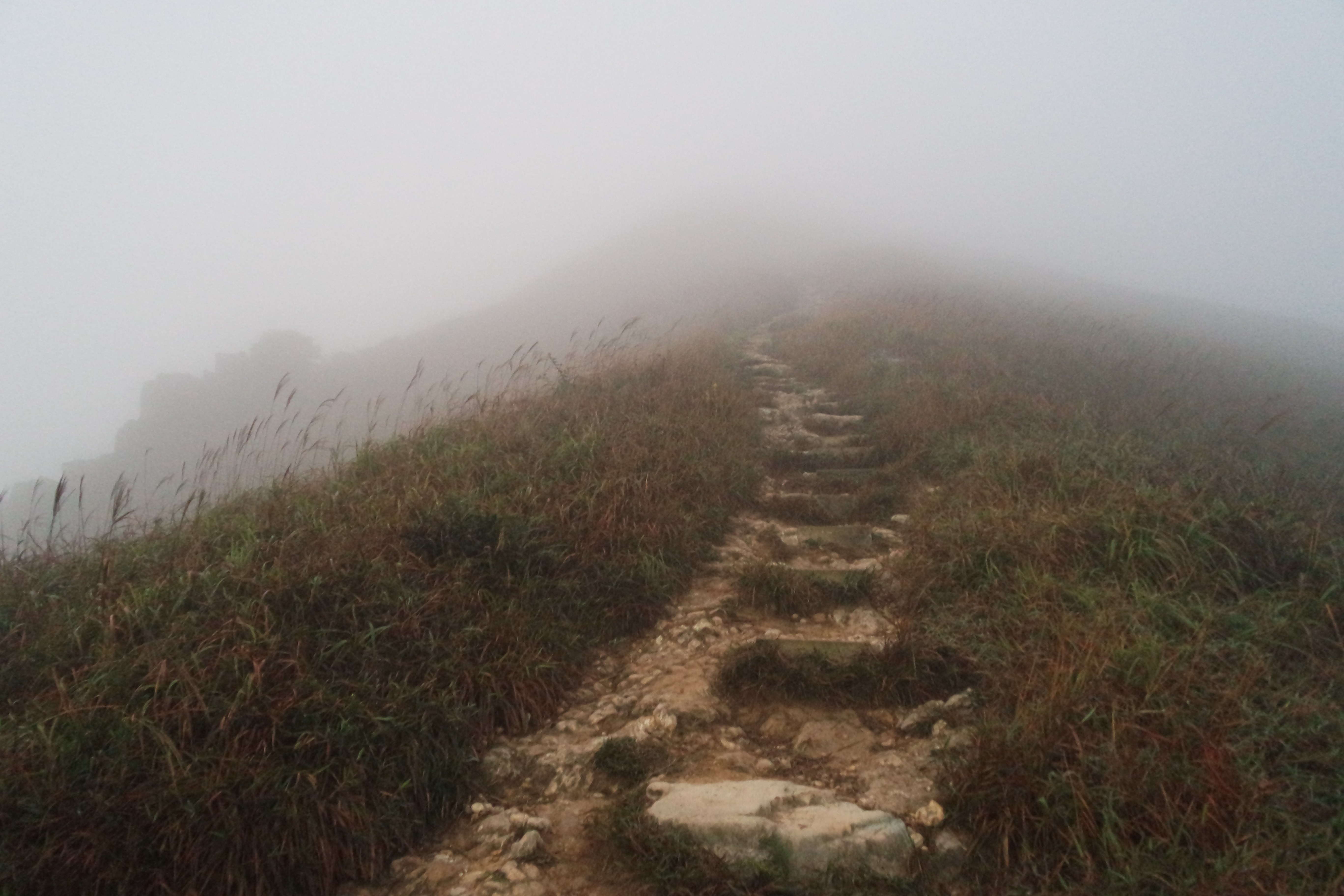
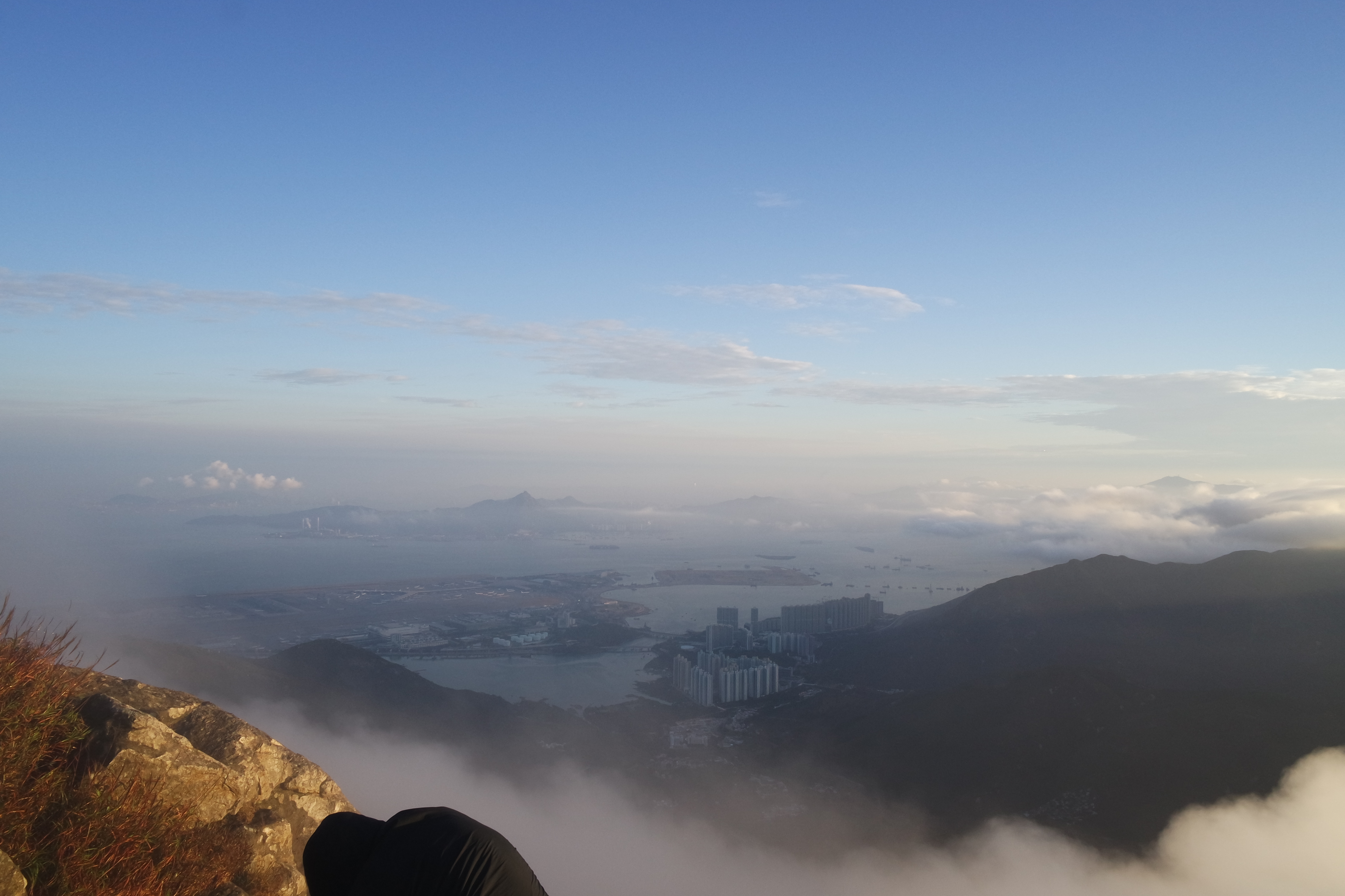
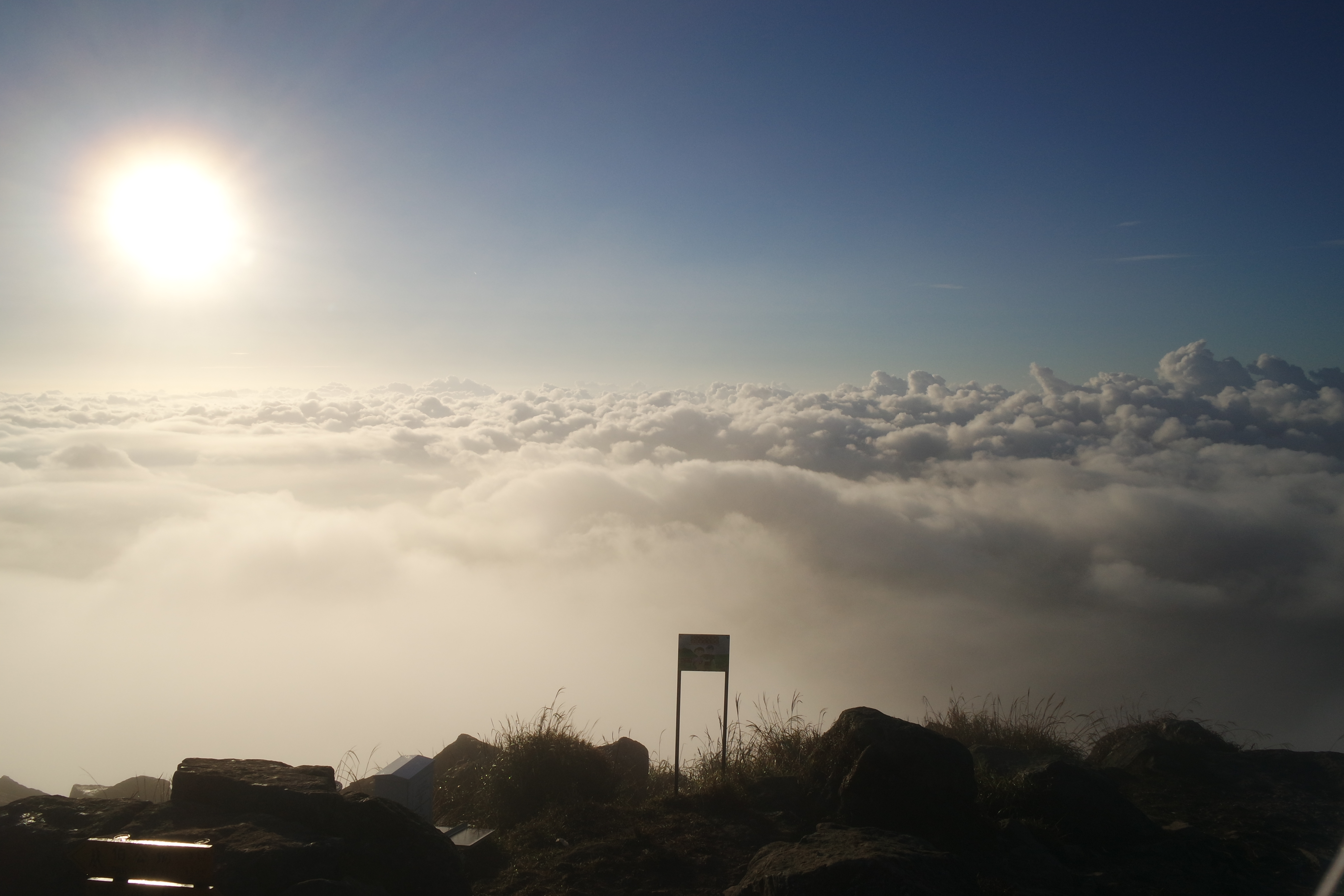
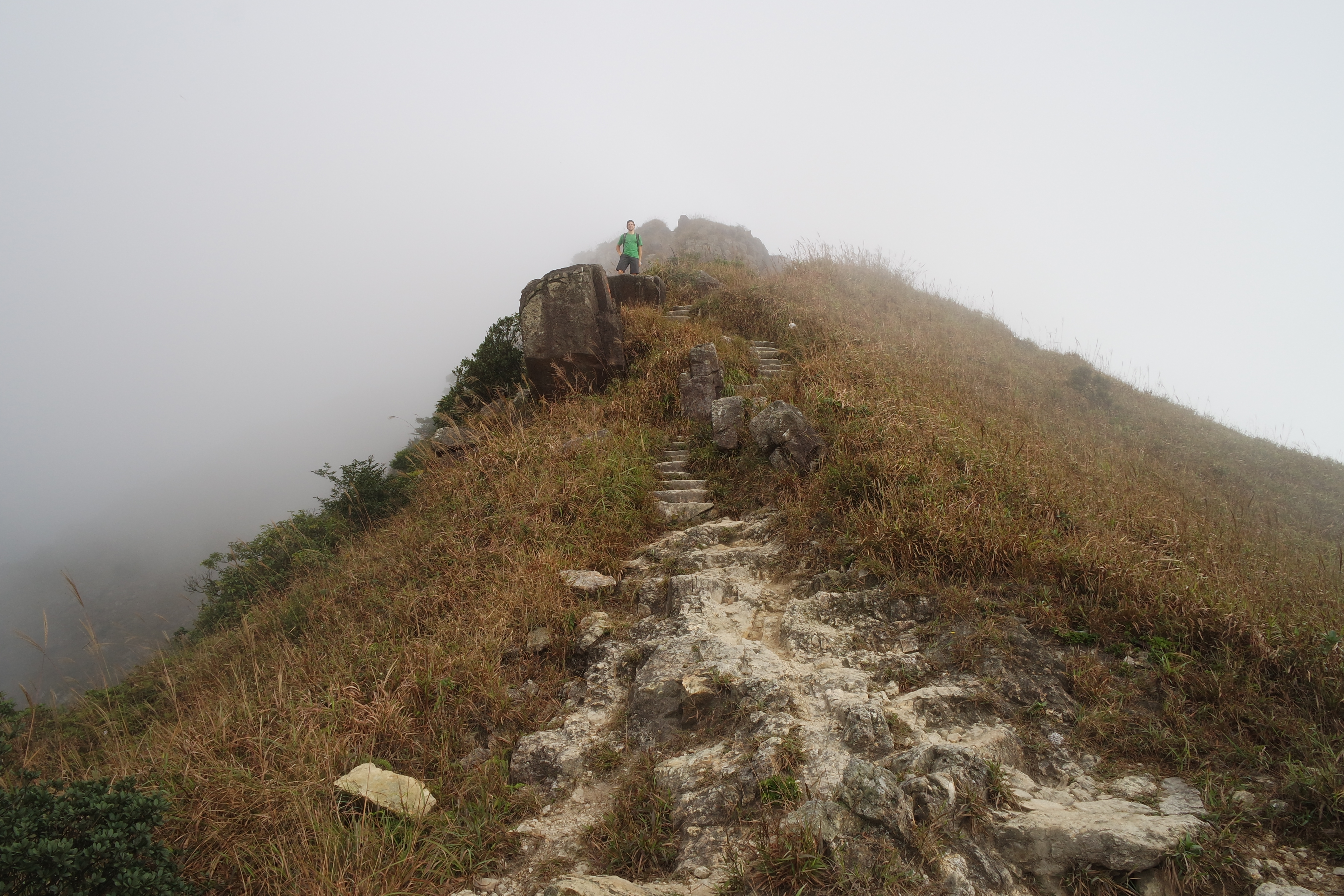
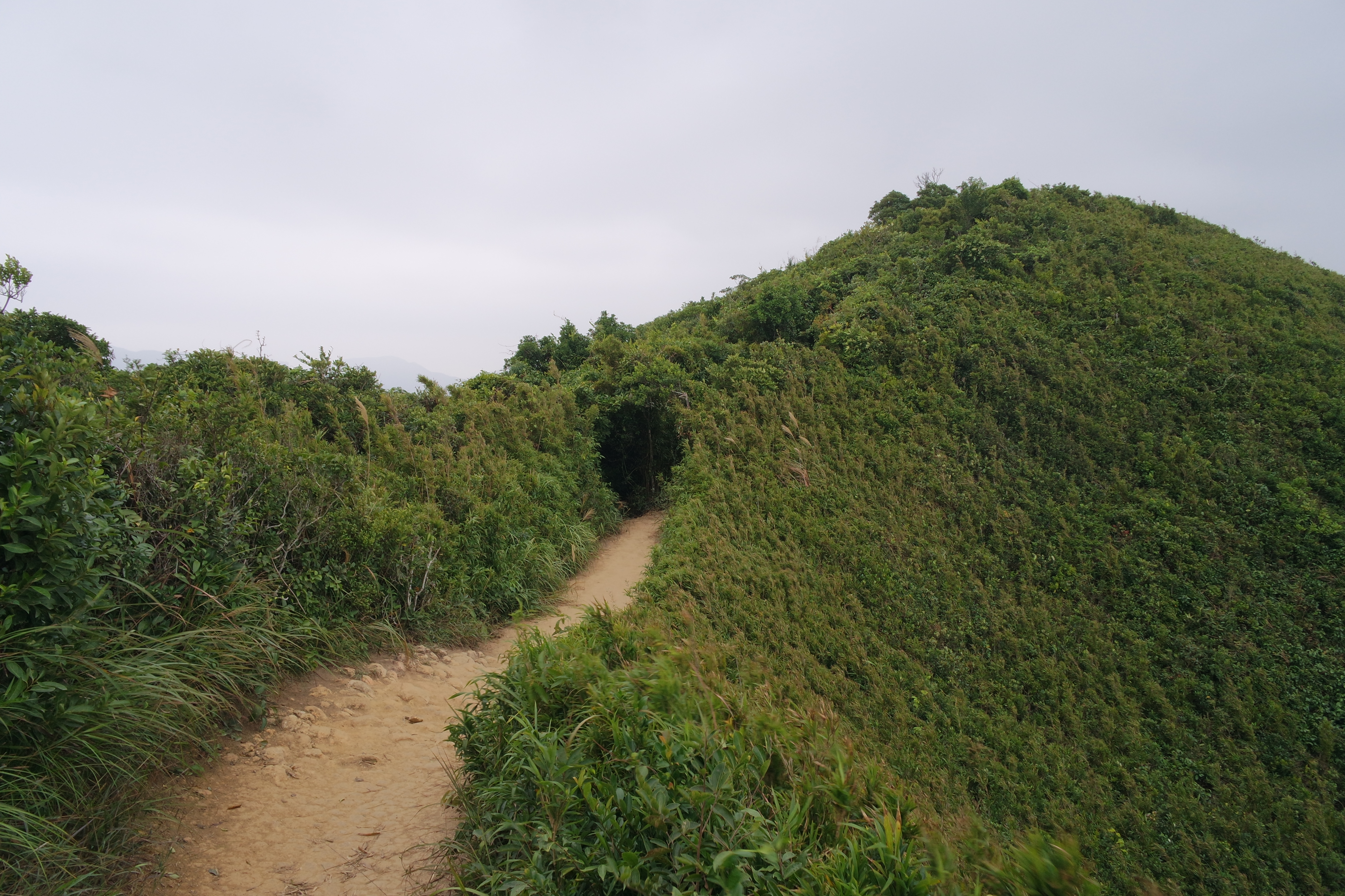
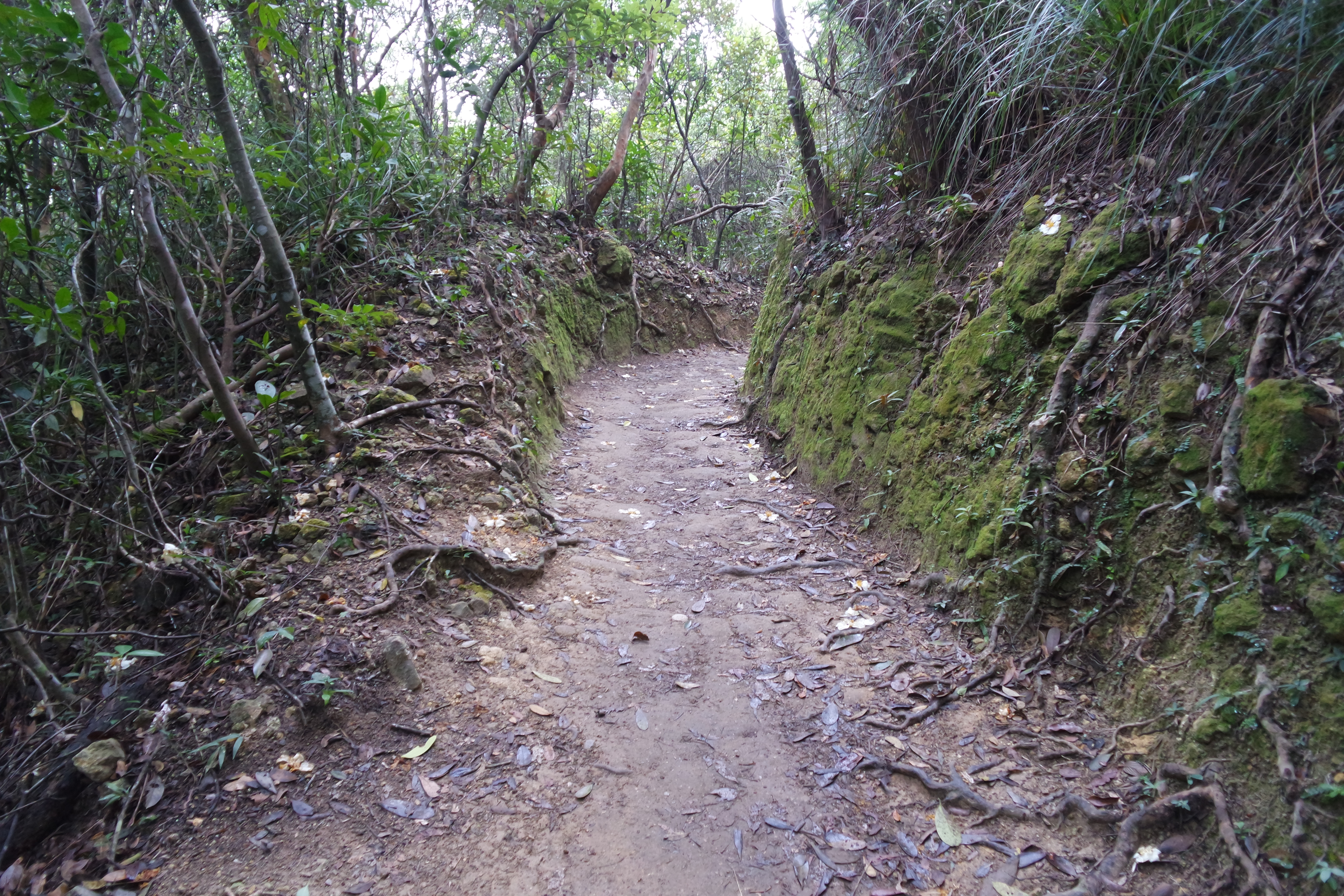
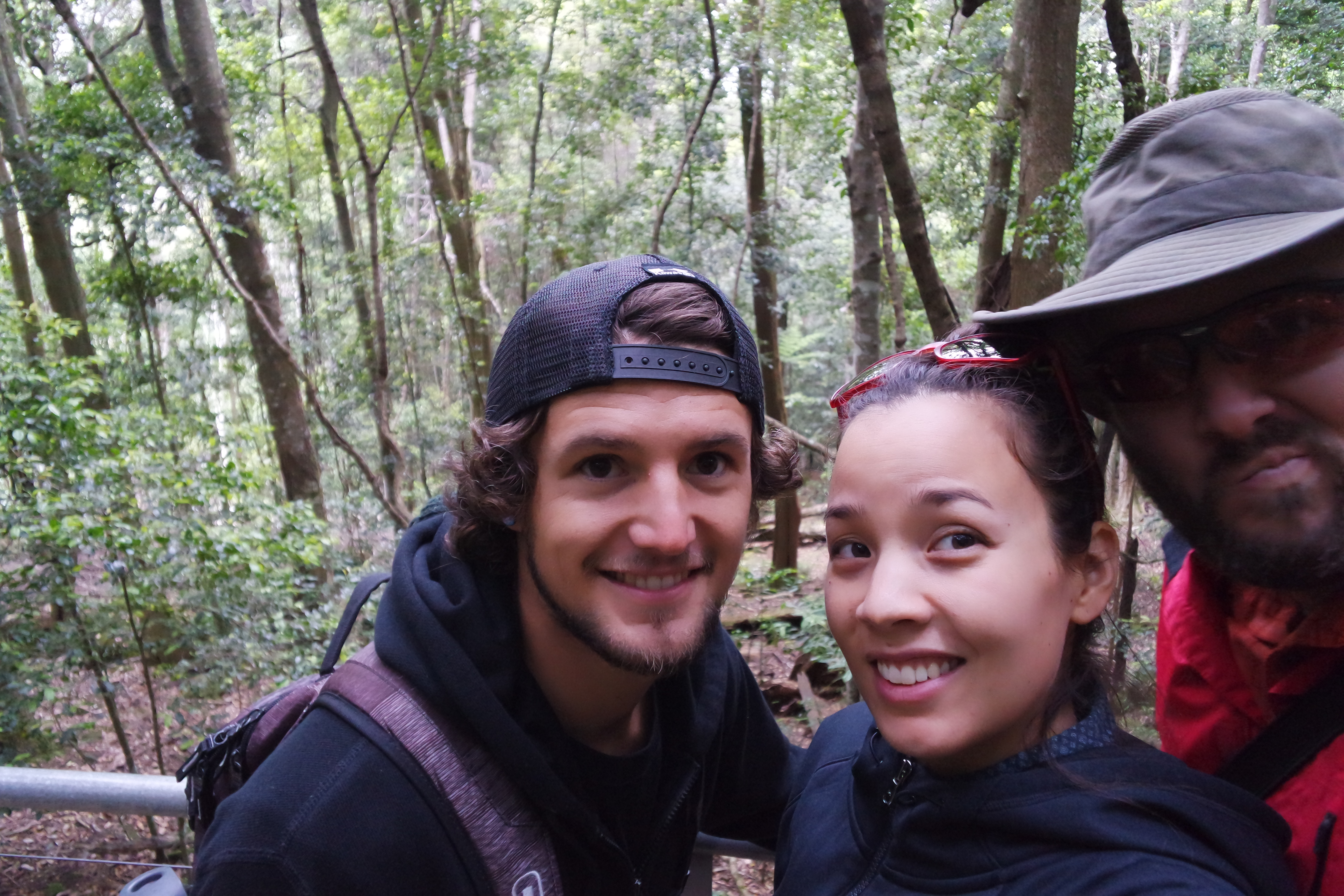
When we were staying in Blackheath, Pretty Boy and I went on a major hike recommended in my Lonely Planet Guide.  Here is a map of the route we took.  We started at Perrys Lookdown, north of Blackheath, and hiked straight down the valley wall to the base of the valley, about a 300 m descent.  Along the bottom of the valley was the Grose River, magical Blue Gum Forest, and Acacia Flat camping area.  We passed a few other hikers on the way down and met some people camping at Acacia Flat.  After marveling at the Blue Gum Forest and wading in the creek, we decided to keep hiking in the valley, instead of going back up the way we came down.  We hiked along Govetts Creek to Junction Rock then took the Rodriguez Pass walking track up to Govetts Leap Lookout.  Along the way, we stopped and swam (in our underwear!) in a pool in the creek next to which we were hiking.  Ugh, I still remember how freezing that water was!  But it was refreshing on our tired legs and washed off the sticky sweat so I think it helped us get the rest of the way out of the valley.  We were tuckered after the serious climb up the side of the valley (400 m total ascent, 300 m of which were tackled on staircases at the very end) and had planned on having Bearface pick us up at the lookout, but that didn’t work out, so we walked back to the AirBnB cottage we were staying at via the Barrow Lookout, Braeside walk, and the city streets.

SAMSUNG CAMERA PICTURES

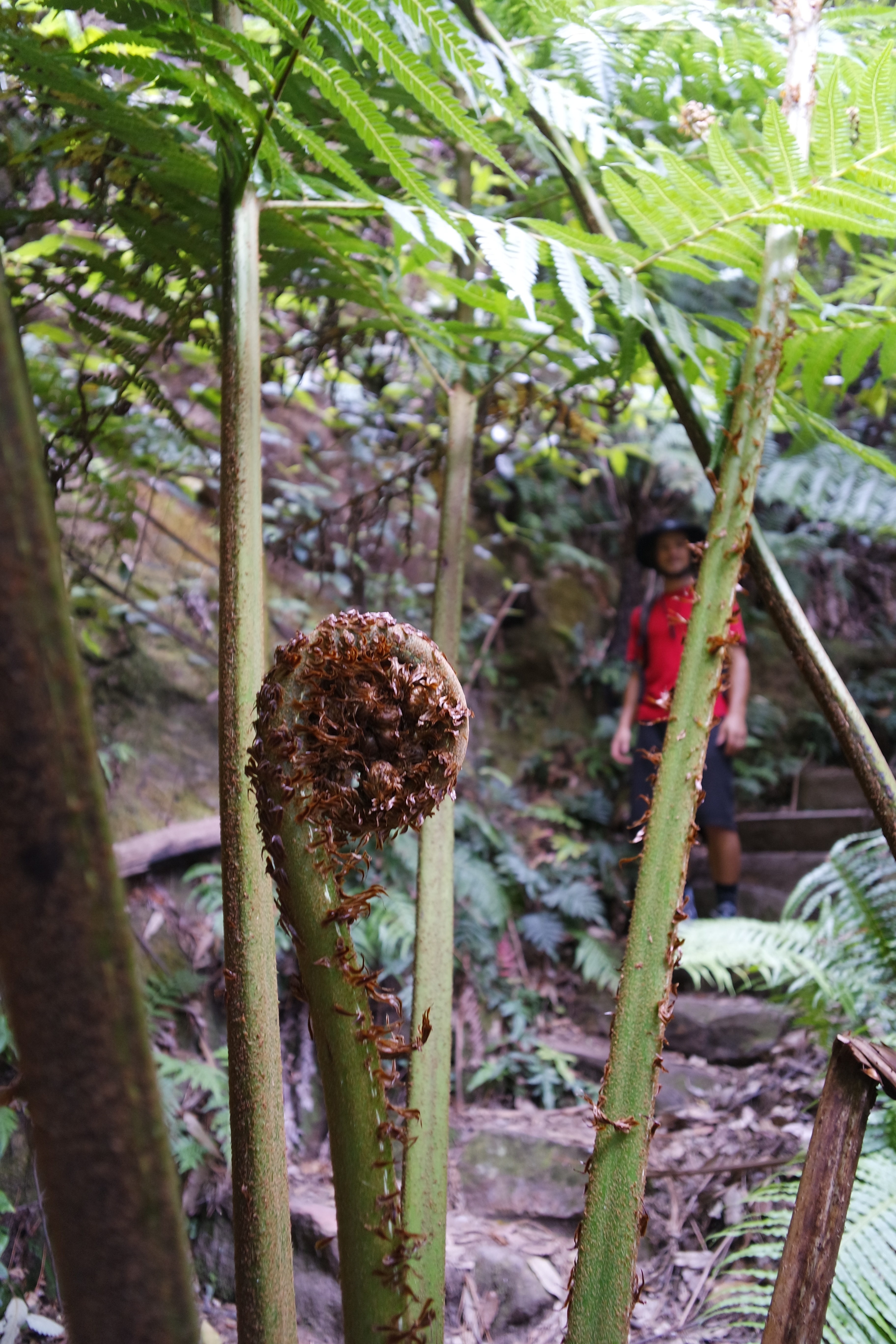
Fern tree un-ferning in front of Pretty Boy on our way down to the Blue Gum Forest

SAMSUNG CAMERA PICTURES

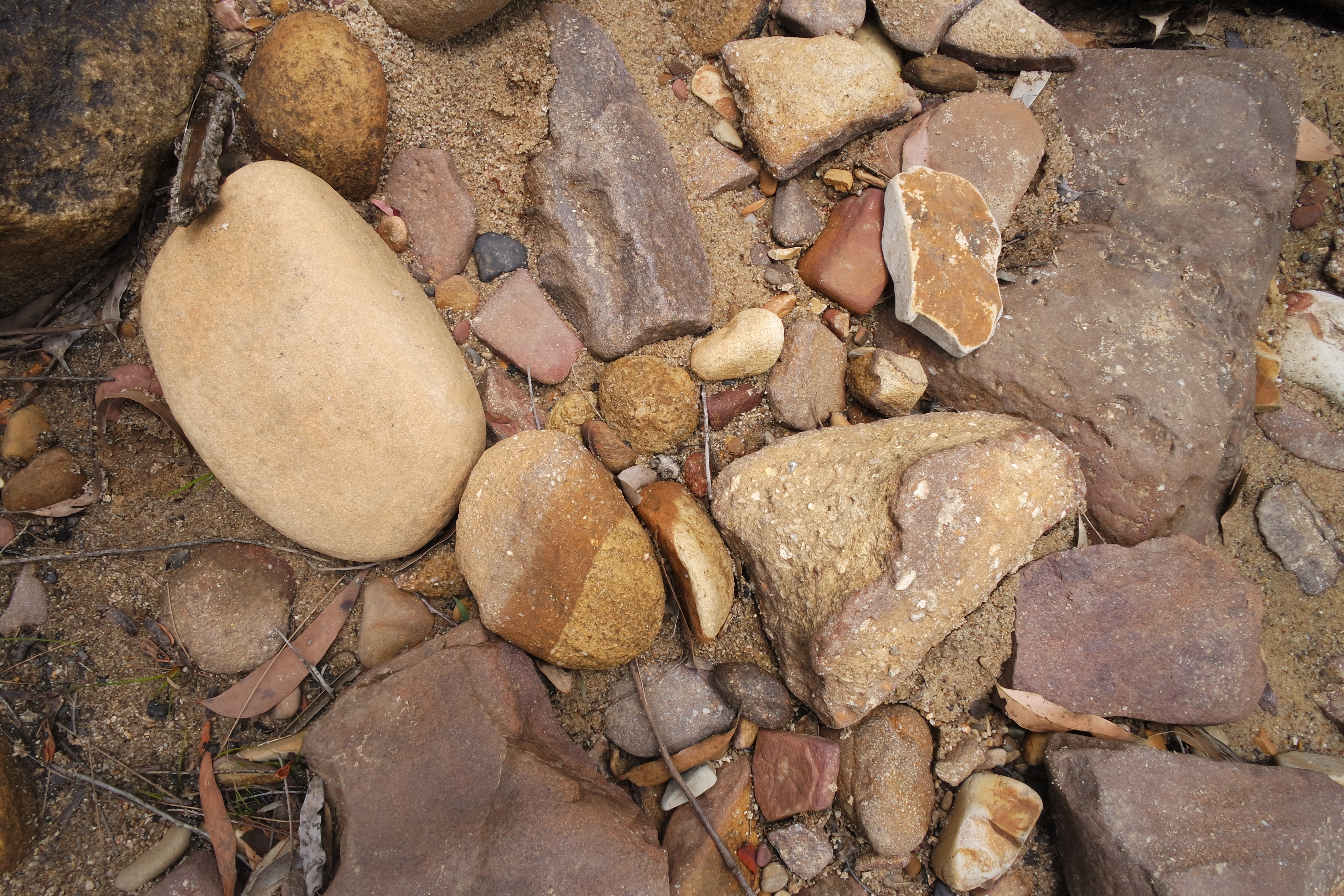
We saw amazing plants and rocks in the valley

SAMSUNG CAMERA PICTURES

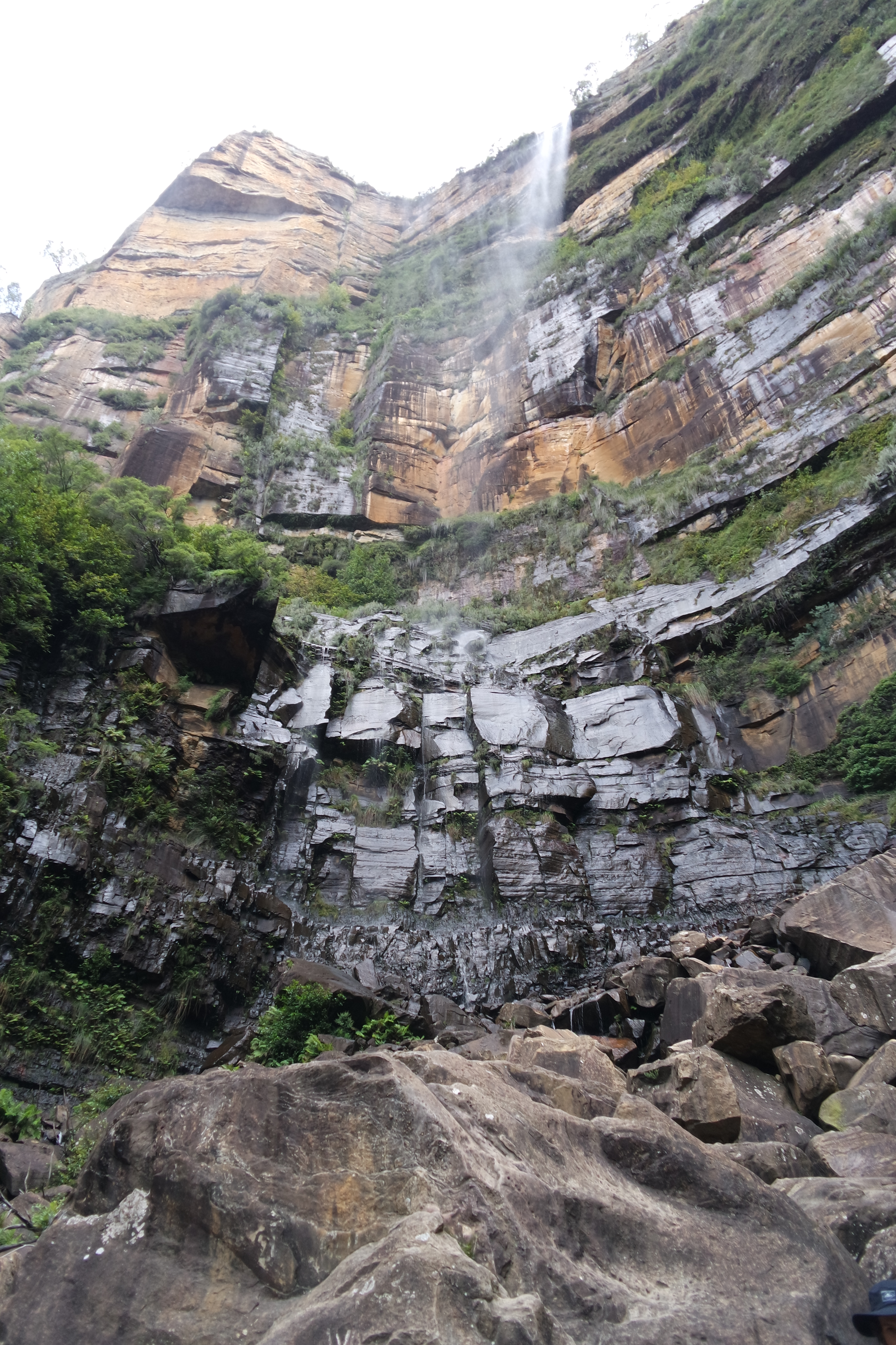
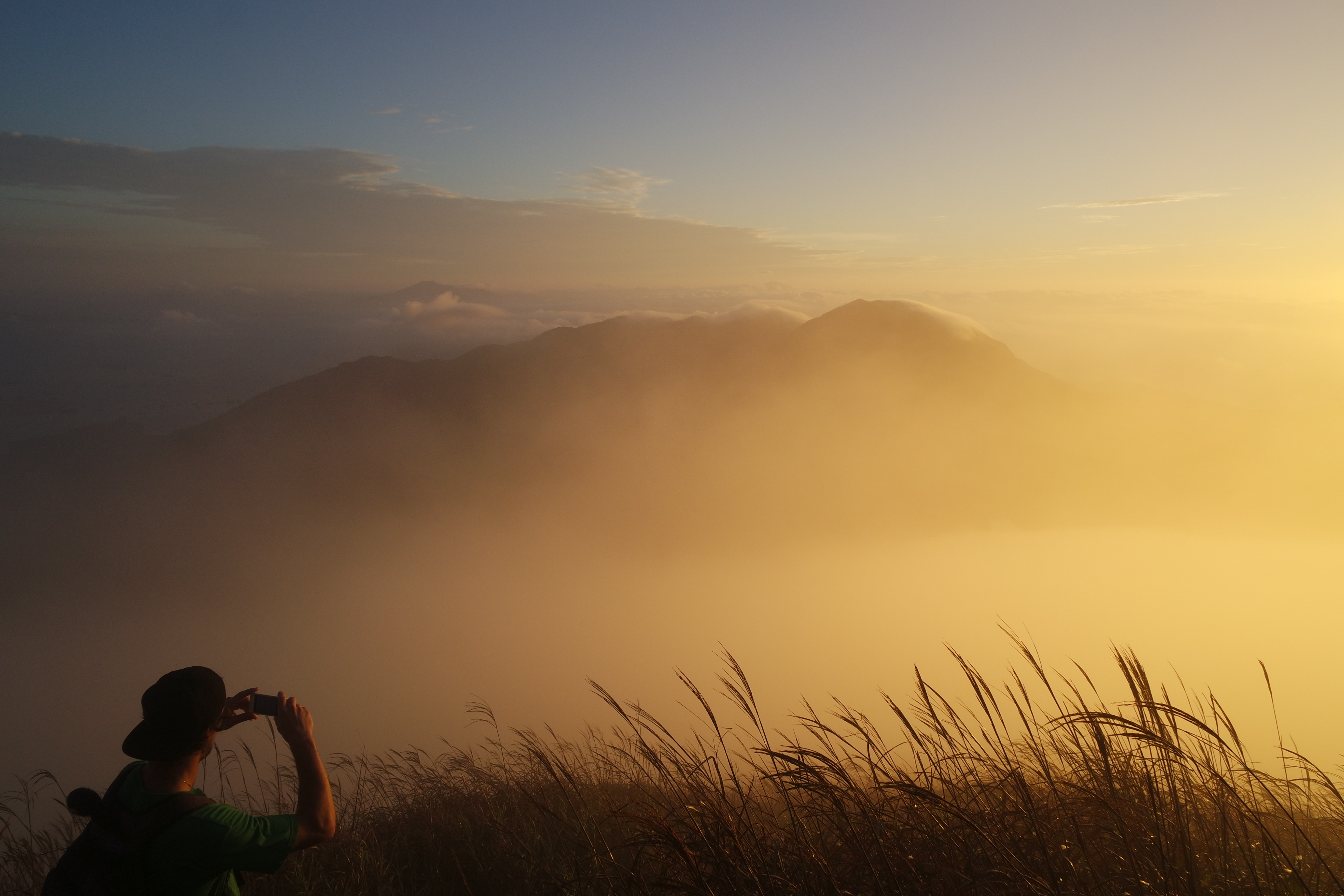
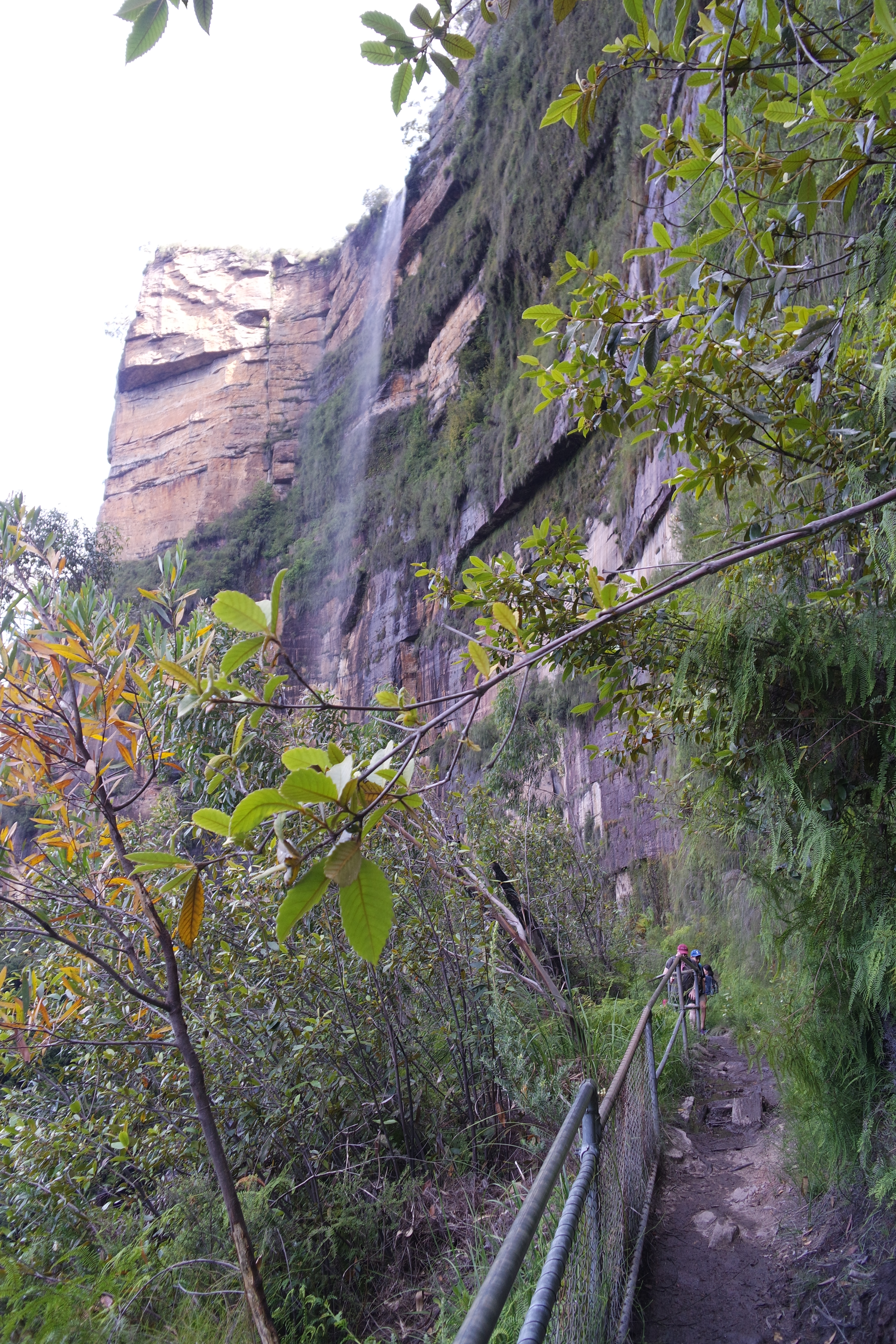
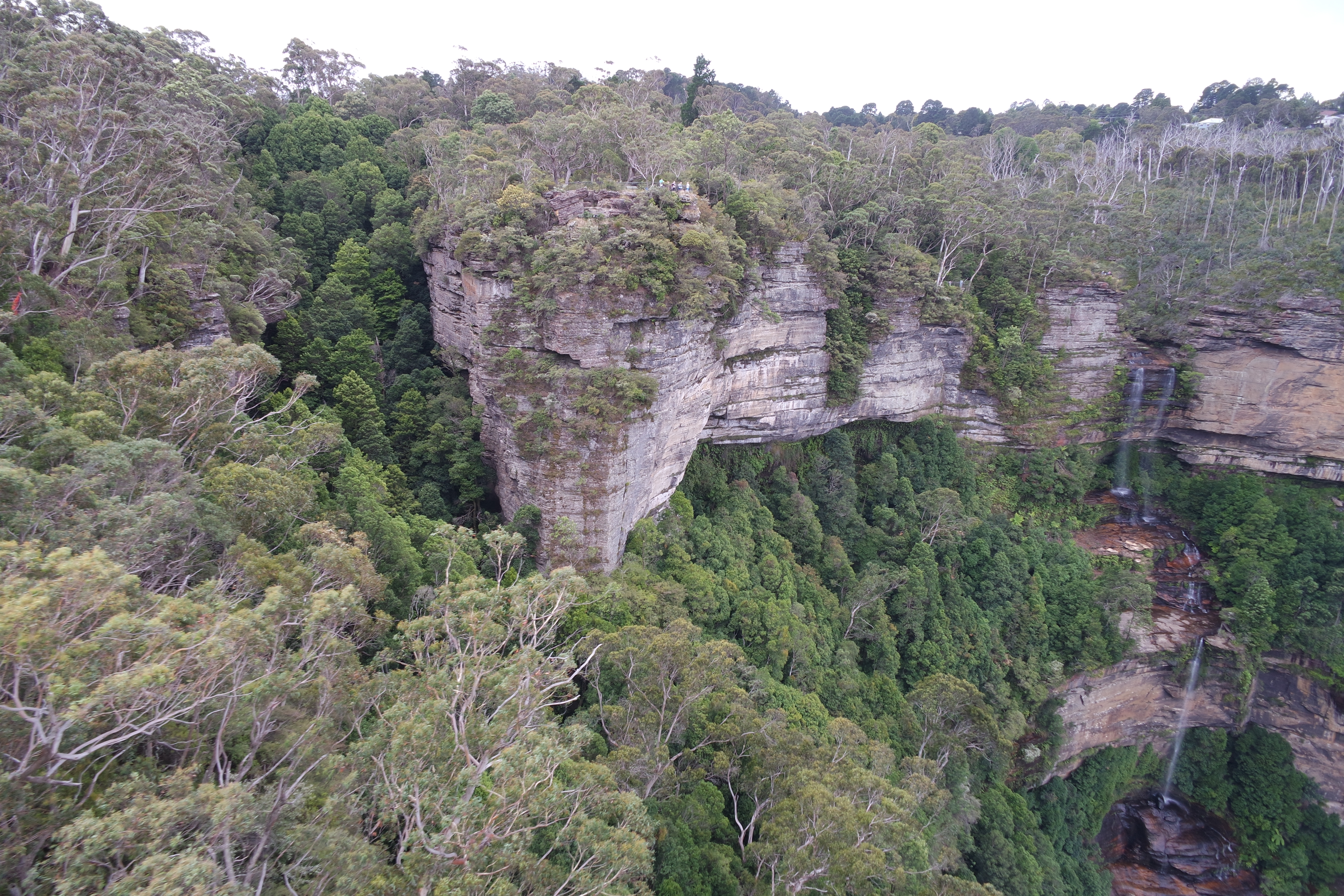
Bridal veil or Govetts leap falls being blown away in the wind; this was at the last bit of trail before Govetts Leap Lookout; doesn’t even do the ascent justice

SAMSUNG CAMERA PICTURES

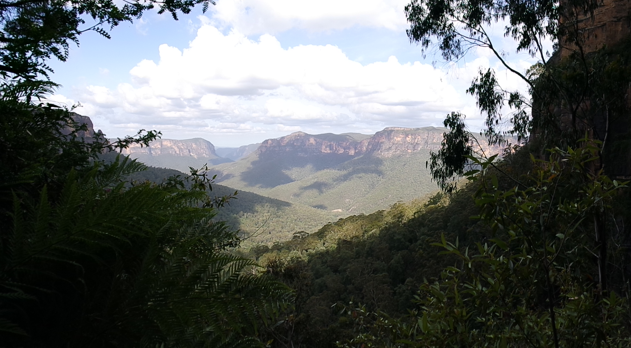
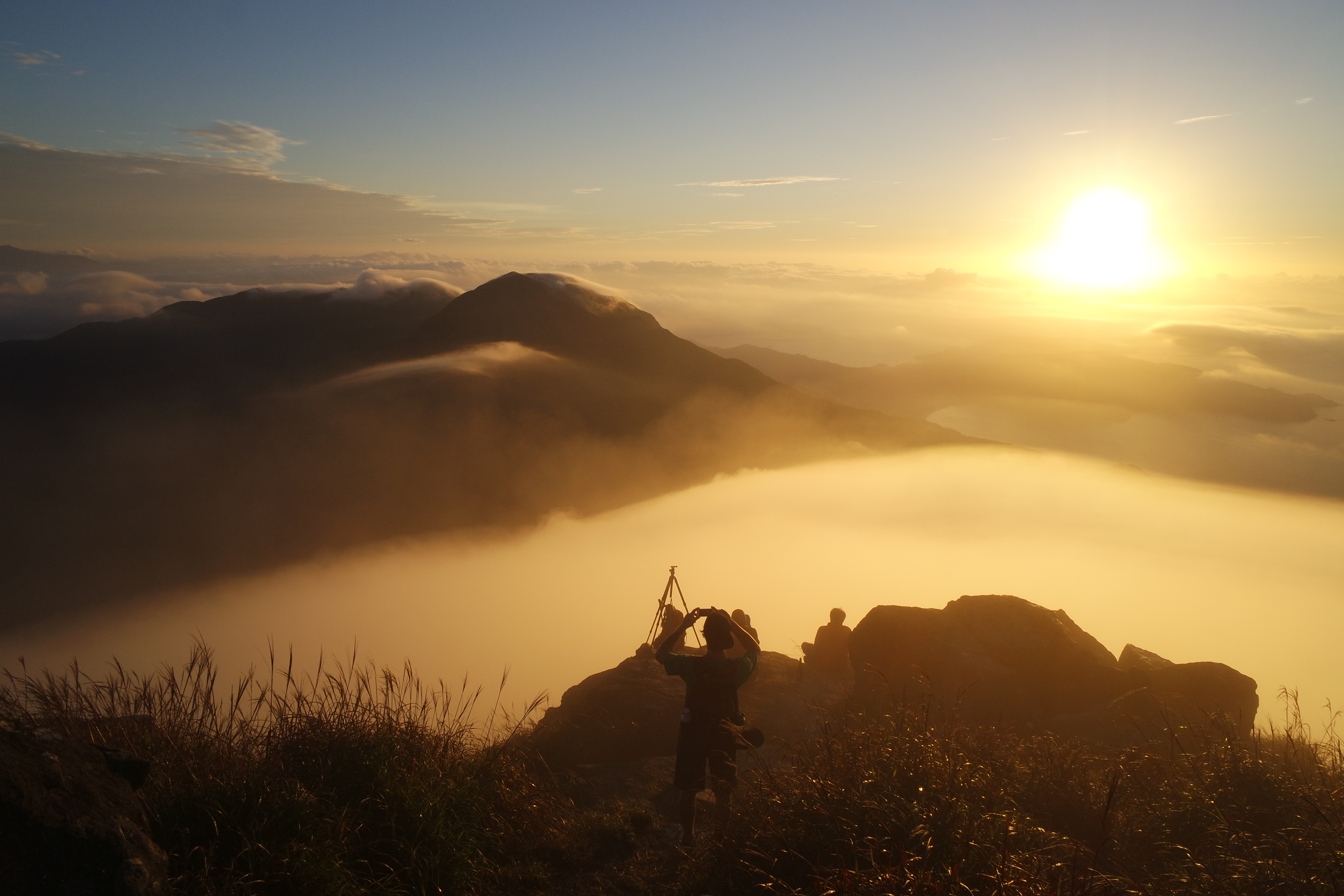
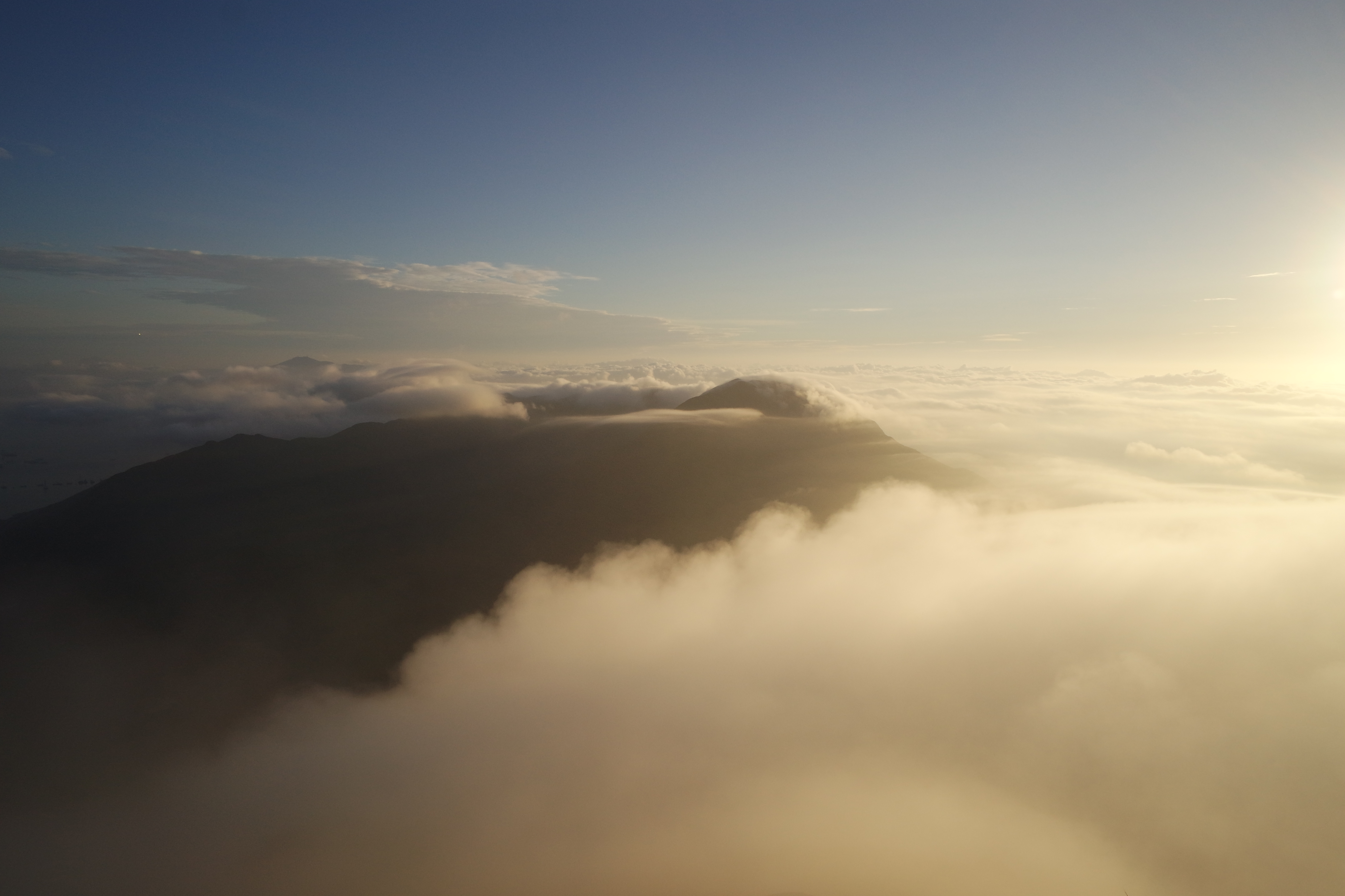
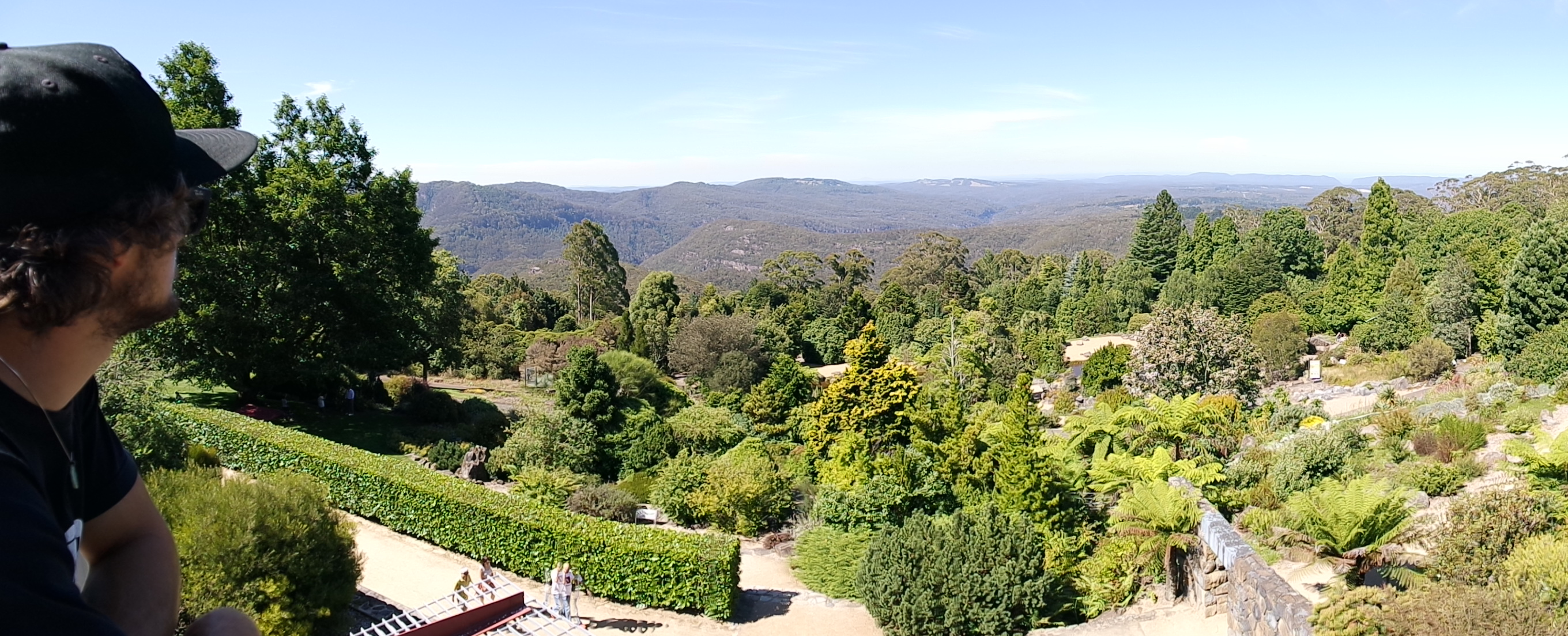
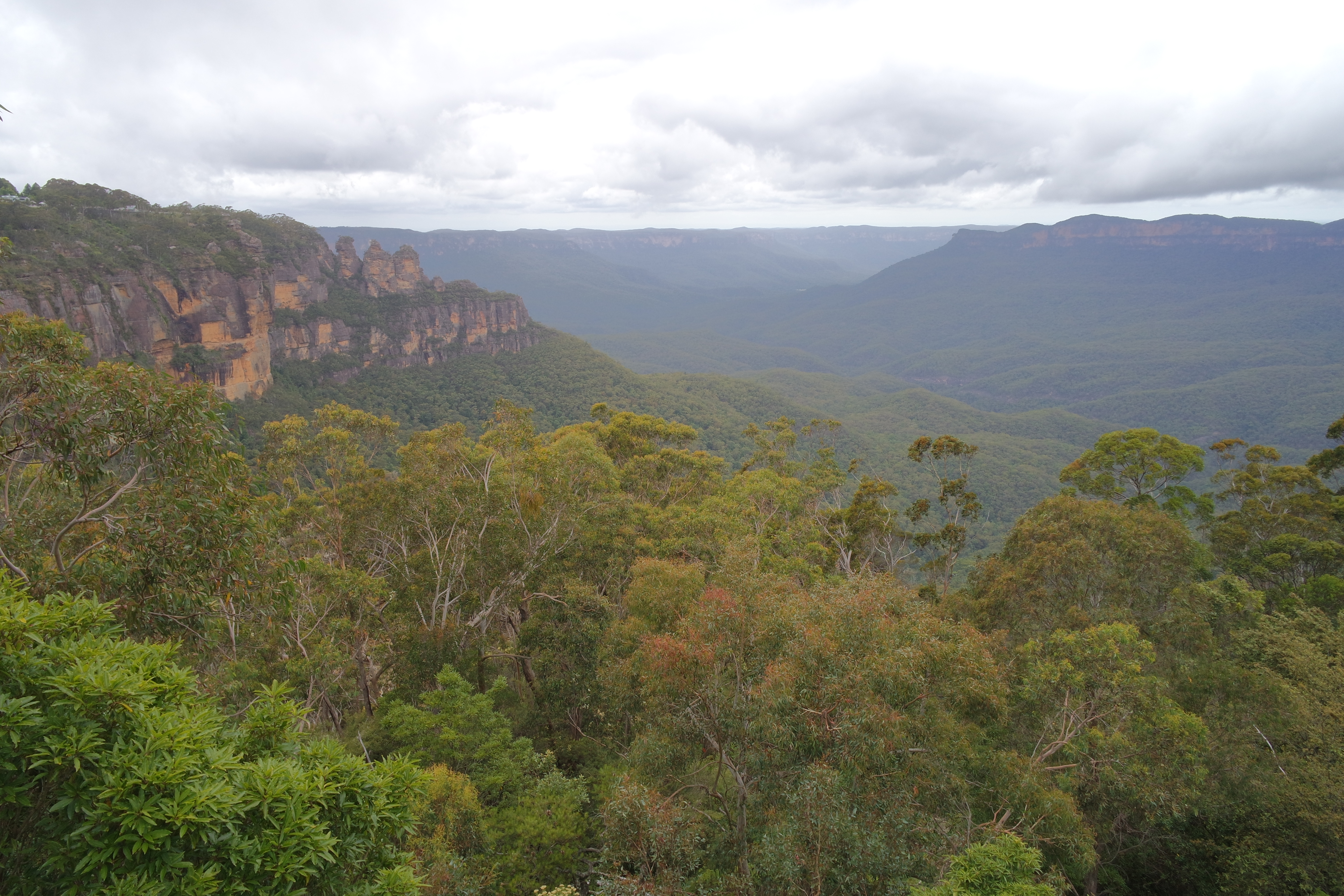
Partway up to Govetts Leap Lookout, looking across the valley that we were hiking in all day

Looking back at the falls while ascending

SAMSUNG CAMERA PICTURES

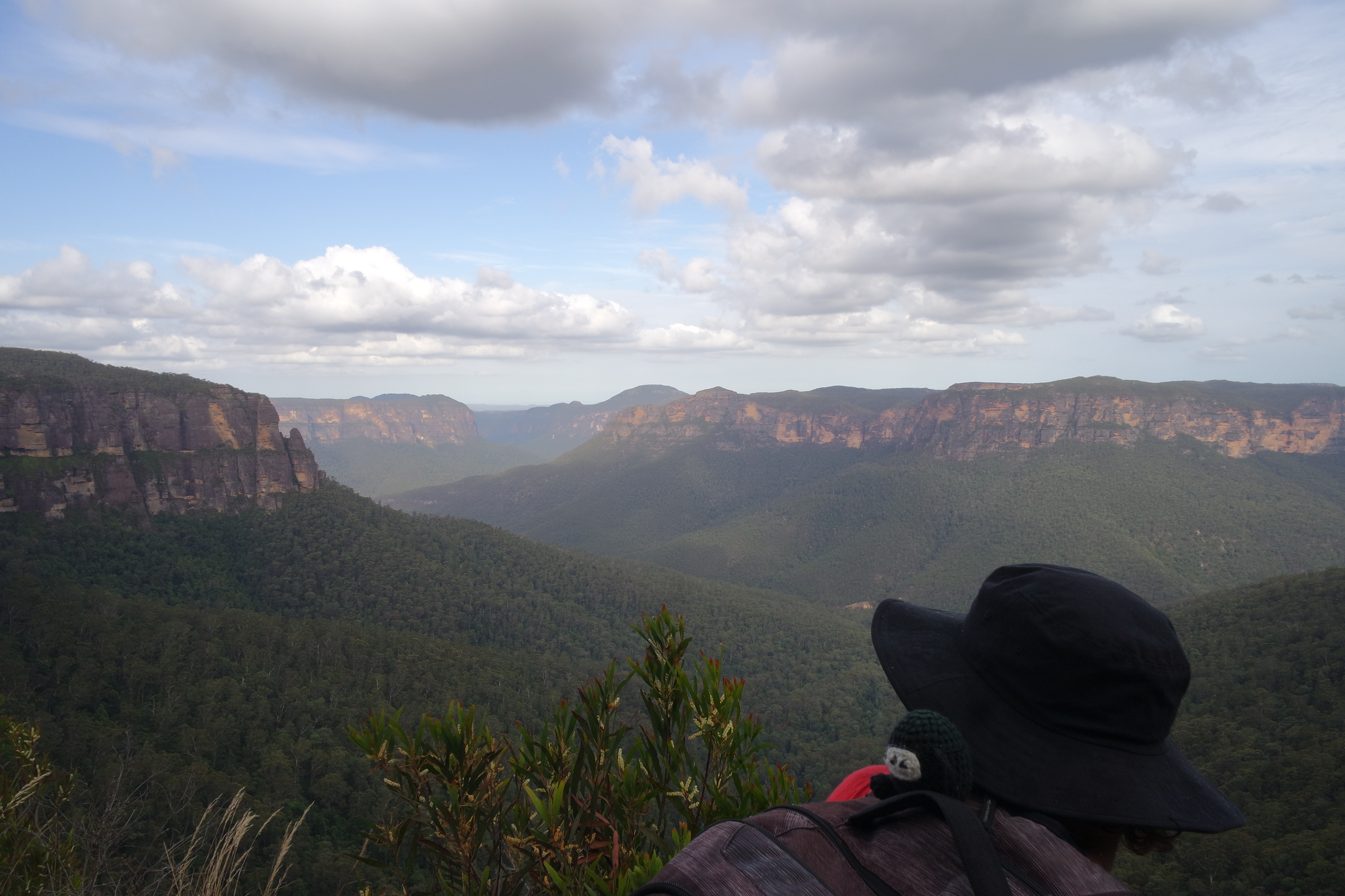
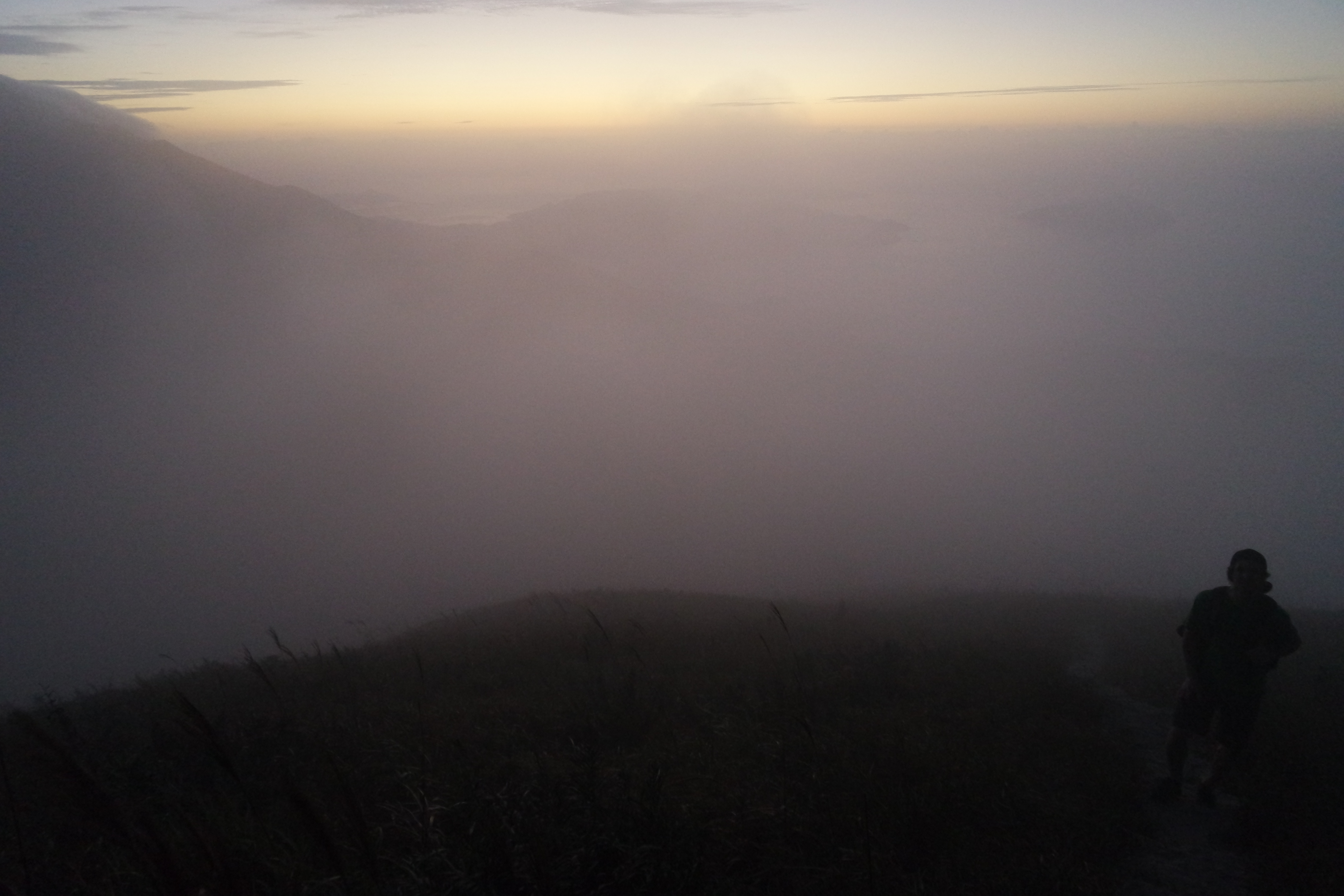
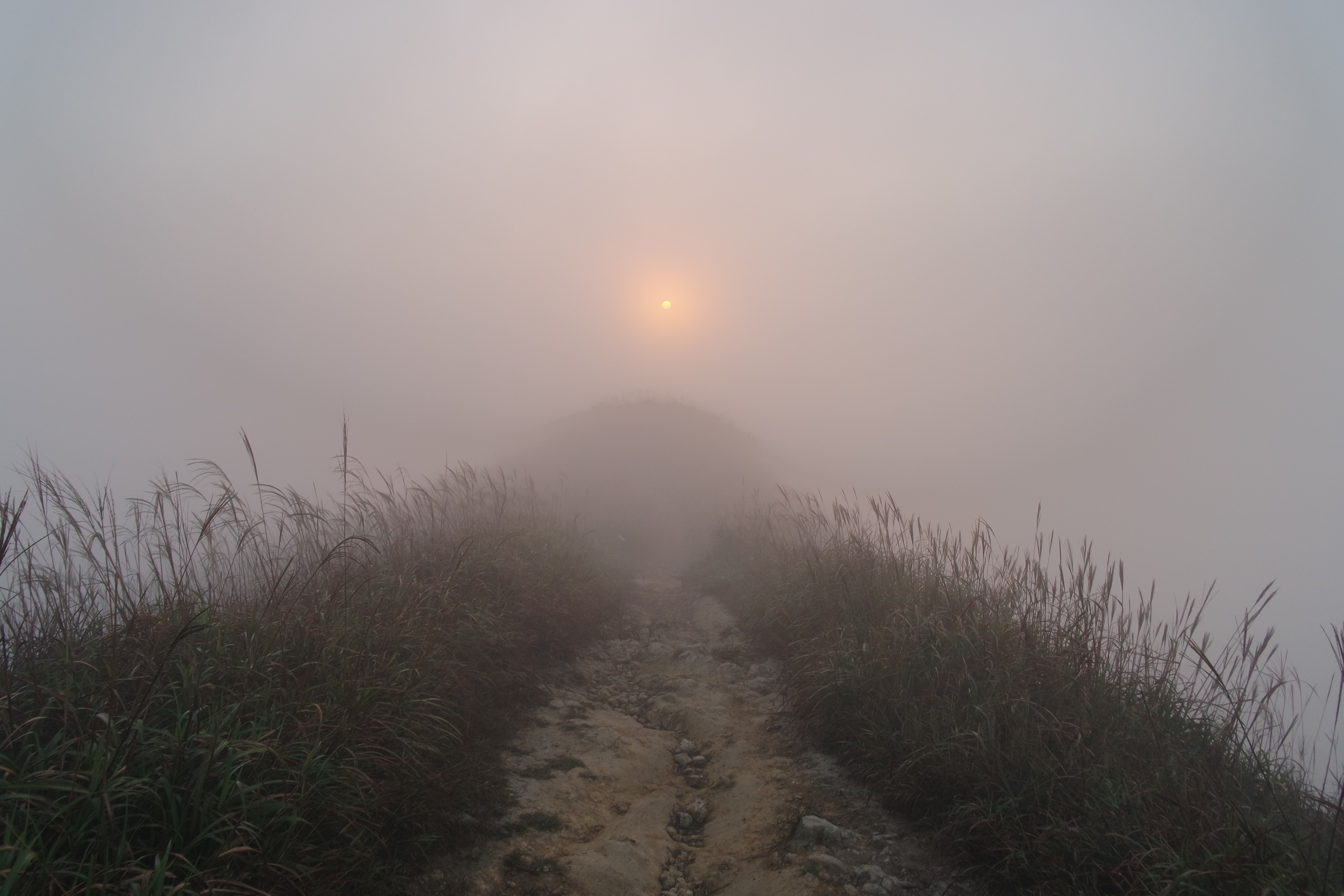
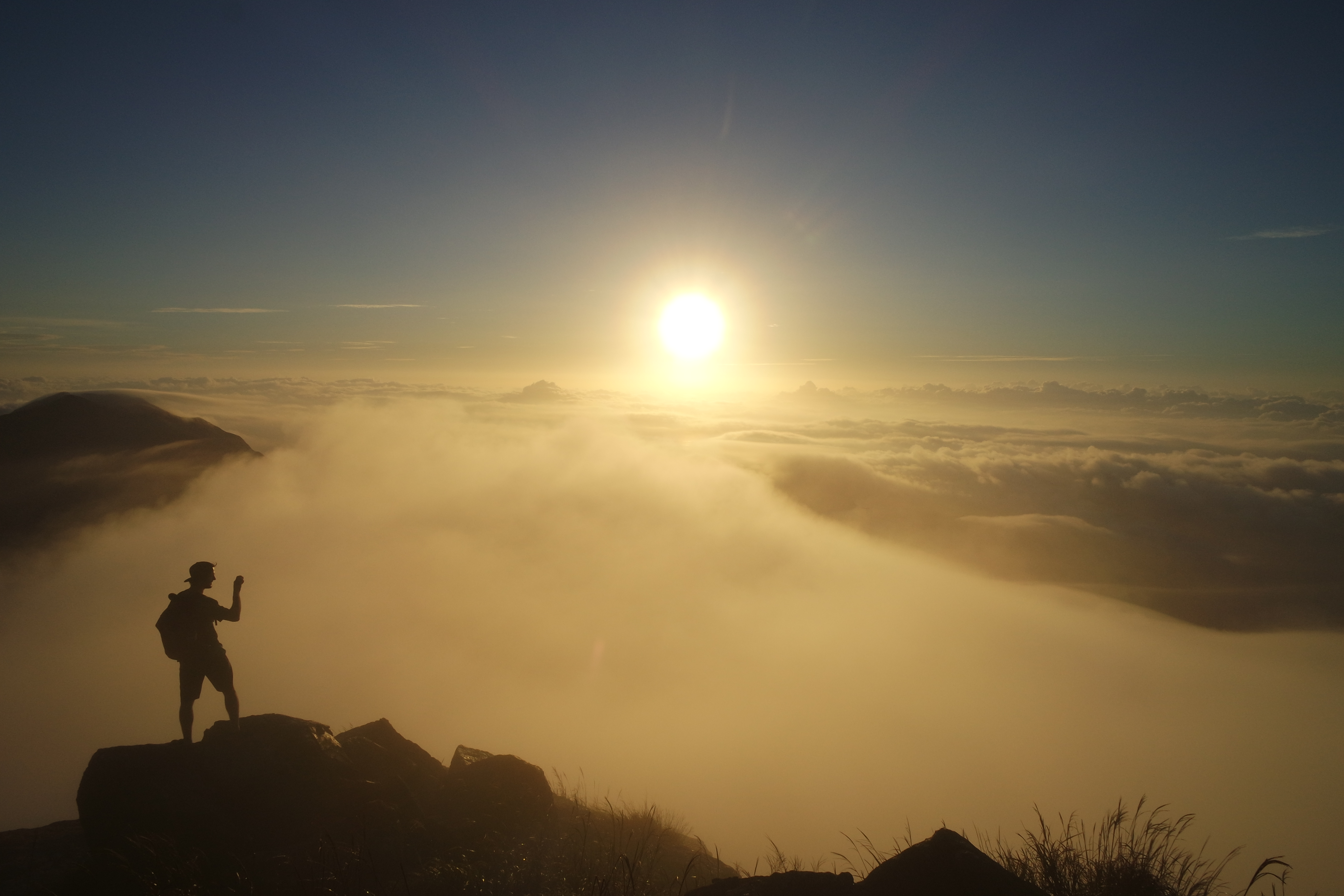
Gazing out at the ground (and elevation) we covered

SAMSUNG CAMERA PICTURES

Pretty patterns cast by the light in our AirBnB cottage

An exhausting, amazing adventure!  It was one of the most physically demanding hikes Pretty Boy and I have ever done, but I loved it and hope to get back to the Blue Mountains again for more.  And all that hard work made our dinner that night at Vesta Blackheath so, so extra delicious.  I sat with my back to an old iron chiminea that had a fire burning in it the whole night and positively melted with exhaustion in the glorious heat.

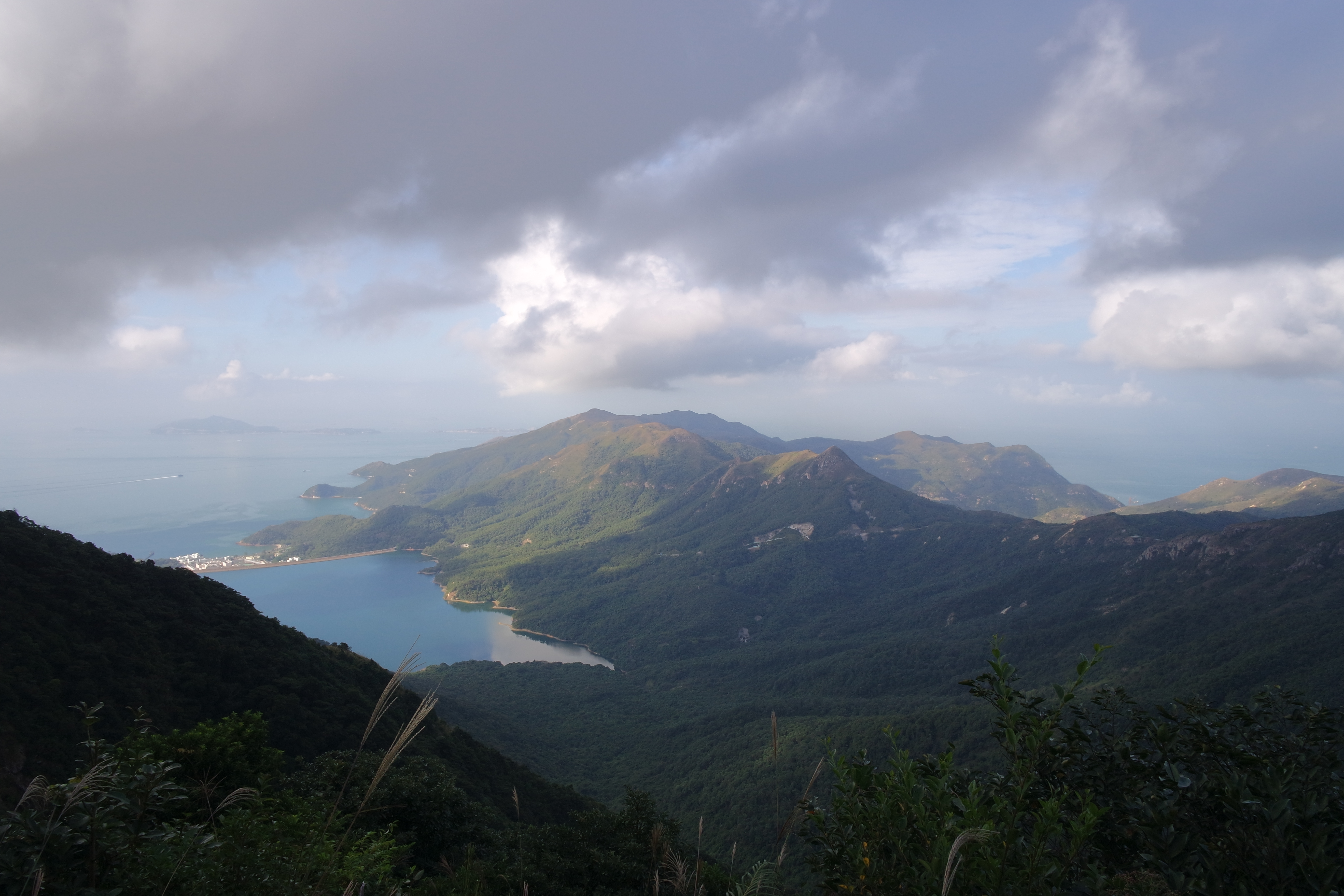
On our way back to Canberra, we drove through Katoomba and stopped at Scenic World to see the Three Sisters.  Touristy Scenic World was very different from the rough wilderness of our hike in Blackheath, but the Blue Mountains are beautiful from either setting.

SAMSUNG CAMERA PICTURES

Three Sisters, limestone rock formations on the left of the valley

SAMSUNG CAMERA PICTURES

Water falls around Scenic World

SAMSUNG CAMERA PICTURES

Goofing around on the walking trails at Scenic World

We did so many things on that trip!  But these were the highlights of the pictures I took.  The Blue Mountains are only a 3 hours drive from Canberra so I have no excuses for not getting back there more often.

Lantau Peak and Dragon’s Back hikes

When Pretty Boy and I were in Hong Kong in November 2015, we did two big hikes: Lantau Peak at sunrise and Dragon’s Back.  Here are some pictures I took while on those adventures.

In the wee, wee morning at the beginning of our journey to Lantau Peak at sunrise, it took us some time to find a taxi at 3 am in Tung Chung, but we finally did.  We took the taxi to the Pak Kung Au bus stop where the trail is supposed to start.  As the taxi sped away, we sure hoped we could find the trail head.  The first bus wasn’t due for another 3 hours if we couldn’t…

lantau peak 1

Hoping we can find the trail head

We did find the trail and started the hike.  No pictures from the first few hours because it was still dark, but eventually, the sky started to lighten.  We weren’t yet at the summit, so we started powering up the steps, hoping to make it to the peak in time to see the sunrise.

the sky lightens

The sky starts to lighten

running out of time

The lighter it got, the more apparent it became that we were in a cloud

We didn’t make it to the very top in time for sunrise, but luckily strategically, we started on the east side of the peak, so the sunrise was at our backs rather than hidden behind the peak, and we saw when the sun rose over the low dense clouds, though it was still partially obscured by the cloud in which we were.

hazy sunrise

Hazy sunrise behind us

By the time we made it to the peak, the clouds were intermittent, so we’d be alternately blasted by sun and enveloped in chilly cloud (made extra chilly by how sweaty we were after racing to the top).  The view was also alternately exposed and obscured by clouds, but we hung out for about an hour watching different parts of Hong Kong and the amazing clouds come and go from view.  At one point, we could see all the way to Hong Kong Island.

the view

Other parts of Lantau Island peaking above the clouds

taking pictures of the view

Taking pano pictures of the view

on top of the world

On top of the world, less than 1 km above sea level

The peak is less than 1 km above sea level (934 m), but its still the tallest peak on Lantau Island and the second tallest in all of Hong Kong, so we felt on top of the world.

sea of clouds

Sea of clouds

tung chung

The city of Tung Chung, where we started our day, between a quick break in the clouds

sun and clouds

sun and clouds

We continued along the trail, down the west side of the peak to Ngong Ping and the Big Buddha.

steep cloudy decent

Steep, cloudy decent

south side of lantau island

South side of Lantau Island

big buddha and wisdom path

The Big Buddha and the Wisdom Path in the distance

We’ve visited Ngong Ping village and the Big Buddha (officially Tian Tan Buddha) every time we’ve been in Hong Kong.  Its one of our favorite places in the world because of the beauty, peaceful vibes, and tofu faa, though the energy was majorly disrupted on our previous visit by hordes of tourists visiting the kitschy tourist attractions that have been built up in Ngong Ping.  We discovered the key for us is to go after hiking to the top of Lantau Peak at sunrise!  The hike put us in a pretty exhausted, mellow mood, and we arrived in Ngong Ping before the cable car, Big Buddha, and all the other attractions opened, so there were essentially no other tourists (just a few devout followers and hard core cyclists).

big buddha

The Big Buddha

my knees hurt just looking at it

That’s were we came down from

temple gardens

Beautiful gardens around the temple in Ngong Ping

We waited around for everything to open at 8 am so we could walk up the stairs, visit the Big Buddha, and have tofu faa. We then took the bus from Ngong Ping back to Tung Chung for a shower and nap.

The positives were discovering a good time (of day) for us to visit the Big Buddha and the amazing views.  The negatives were partial to heavy cloud cover and the amount of trash (and heavy odor of urine) left at the summit.  Results of the hike becoming so popular.  We were at the summit with people who had camped over night there in order to see the sunrise, though they didn’t look happy or warm to us.  I’m definitely glad we did the hike, and I would definitely do it again with an eye on the forecast and some garbage bags for picking up some litter.

I also think approaching the summit from the east was a great idea.  The approach from the west may be faster, but its also steeper, a prospect that terrifies me in the best of conditions.  I couldn’t imagine attempting it in the dark or in a cloud or both.  And if you’re running late (as we often are), the sunrise is still visible from the east.

Later on the same visit to Hong Kong, we went to the Southern District of Hong Kong Island to hike the Dragon’s Back, rated one of the top hikes in all of Asia, and visit Big Wave Bay and Shek O village.  We took all the trains and buses to get us there and back since we were staying in Tung Chung and met Dr. Sam in Wan Chai for dinner afterwards (2 MTR trains and a bus to get there; a bus, the longest trolley ride, and an MTR train to get back), but we love the public transport in Hong Kong!  It was all part of the adventure.

We were in the company of several other hikers on the bus that stopped at the trail head (though we were probably the youngest by half), so we knew we were in the right place.  So different from how we felt starting the Lantau Peak hike.  We hit the trail quickly and left most of the other hikers behind.  The weather wasn’t the best for hiking that day.  The views around us on top of the Dragon’s Back ridge were amazing but hazy, so the pictures aren’t very nice.  And it was crazy windy at the top of the ridge, so we didn’t linger too long.

that's some Miyazaki-type shit right there

Dragon’s Back ridge

After the top of the ridge, the trail wrapped around a peak in the Shek O Country Park and dropped us down in Big Wave Bay.

trail

Trail through Shek O Country Park

Big Wave Bay apparently has the best surfing in Hong Kong, though they have a shark net at the bay entrance which breaks the waves up and makes them less nice for surfing.  The weather was still cloudy and dreary, but there were a fair few surfers out (even though winter is not the beach season to most Hong Kong residents), and Pretty Boy couldn’t resist.  He rented a board and played in the waves for a bit before we continued on.  We walked down the road to Shek O village, while the clouds finally clear off and the sun came out.

shek o headland

Shek O headland

welcome to shek o

Welcome to Shek O

We really enjoyed walking around and seeing Shek O, but I didn’t take any pictures of it.  It always amazing me that it only takes a few relatively short public transport rides to feel like I’m so far removed from the bustle of Hong Kong and the rest of the world.  Its one of my favorite things about Hong Kong.  After our visit and a really good cup of nai chai at the cafe across the street from the bus stop, we started our long trip back to civilization.